File:Powiat gryfiński location map.png
Jump to navigation
Jump to search

Size of this preview: 403 × 599 pixels. Other resolutions: 161 × 240 pixels | 575 × 854 pixels.
Original file (575 × 854 pixels, file size: 167 KB, MIME type: image/png)
Captions
Captions
Add a one-line explanation of what this file represents
| Description |
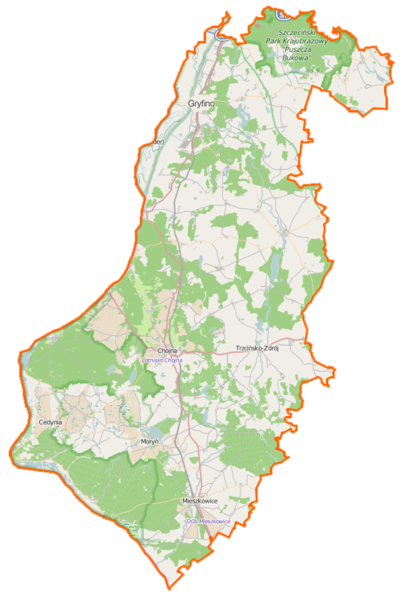
Polski: Mapa powiatu gryfińskiego, Polska
English: Map of Powiat gryfiński, Poland |
|||||||||
| Date | ||||||||||
| Source | You may find a page on the OpenStreetMap wiki page for Powiat gryfiński | |||||||||
| Creator |
OpenStreetMap contributors OpenStreetMap contributors |
|||||||||
| Permission (Reusing this file) |
OpenStreetMap data is available under the Open Database License (details). Map tiles are licensed under the Creative Commons Attribution-ShareAlike 2.0 license (CC-BY-SA 2.0).
This file is licensed under the Creative Commons Attribution-Share Alike 2.0 Generic license.
|
|||||||||
| Geotemporal data | ||||||||||
| Bounding box |
|
|||||||||
| Georeferencing | If inappropriate please set warp_status = skip to hide. | |||||||||
File history
Click on a date/time to view the file as it appeared at that time.
| Date/Time | Thumbnail | Dimensions | User | Comment | |
|---|---|---|---|---|---|
| current | 15:50, 16 February 2015 | | 575 × 854 (167 KB) | VanWiel (talk | contribs) | {{OpenStreetMap | name = Powiat gryfiński | location = Powiat gryfiński | description = {{pl|Mapa powiatu gryfińskiego, Polska}} {{en|Map of Powiat gryfiński, Poland}} | top = 53.3743 | bottom =... |
You cannot overwrite this file.
File usage on Commons
There are no pages that use this file.
File usage on other wikis
The following other wikis use this file:
- Usage on eo.wikipedia.org
- Usage on pl.wikipedia.org
- Siekierki (województwo zachodniopomorskie)
- Trzcińsko-Zdrój
- Moryń
- Cedynia
- Cedyński Park Krajobrazowy
- Powiat gryfiński
- Gryfino
- Swobnica
- Chojna
- Szczeciński Park Krajobrazowy „Puszcza Bukowa”
- Park Krajobrazowy Dolina Dolnej Odry
- Morzycko
- Mieszkowice
- Rezerwat przyrody Dolina Świergotki
- Rezerwat przyrody Dąbrowa Krzymowska
- Bielinek (rezerwat przyrody)
- Rezerwat przyrody Olszyna Źródliskowa pod Lubiechowem Dolnym
- Rezerwat przyrody Jeziora Siegniewskie
- Wrzosowiska Cedyńskie im. inż. Wiesława Czyżewskiego
- Kostrzyneckie Rozlewisko
- Gozdowice
- Banie
- Stare Czarnowo
- Kołbacz
- Binowo
- Widuchowa (województwo zachodniopomorskie)
- Osinów Dolny
- Radziszewo (powiat gryfiński)
- Daleszewo
- Nowe Brynki
- Rurzyca (dopływ Odry)
- Słubia
- Babinek (powiat gryfiński)
- Baniewice
- Bartkowo
- Bielinek
- Borzym
- Brwice
- Chełm Dolny
- Chełm Górny
- Chwarstnica
- Czelin
- Czepino
- Dobropole Gryfińskie
- Drzenin
- Dębce
- Dłusko Gryfińskie
- Gądno
- Garnowo
View more global usage of this file.