File:Powiat choszczeński location map.png
Jump to navigation
Jump to search
Size of this preview: 741 × 599 pixels. Other resolutions: 297 × 240 pixels | 594 × 480 pixels | 950 × 768 pixels | 1,240 × 1,003 pixels.
Original file (1,240 × 1,003 pixels, file size: 160 KB, MIME type: image/png)
Captions
Captions
Add a one-line explanation of what this file represents
| Description |
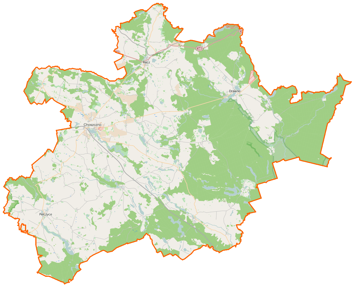
Polski: Mapa powiatu choszczeńskiego, Polska
English: Map of Powiat choszczeński, Poland |
|||||||||
| Date | ||||||||||
| Source | You may find a page on the OpenStreetMap wiki page for Powiat choszczeński | |||||||||
| Creator |
OpenStreetMap contributors OpenStreetMap contributors |
|||||||||
| Permission (Reusing this file) |
OpenStreetMap data is available under the Open Database License (details). Map tiles are licensed under the Creative Commons Attribution-ShareAlike 2.0 license (CC-BY-SA 2.0).
This file is licensed under the Creative Commons Attribution-Share Alike 2.0 Generic license.
|
|||||||||
| Geotemporal data | ||||||||||
| Bounding box |
|
|||||||||
| Georeferencing | If inappropriate please set warp_status = skip to hide. | |||||||||
File history
Click on a date/time to view the file as it appeared at that time.
| Date/Time | Thumbnail | Dimensions | User | Comment | |
|---|---|---|---|---|---|
| current | 07:31, 16 February 2015 | | 1,240 × 1,003 (160 KB) | VanWiel (talk | contribs) | {{OpenStreetMap | name = Powiat choszczeński | location = Powiat choszczeński | description = {{pl|Mapa powiatu choszczeńskiego, Polska}} {{en|Map of Powiat choszczeński, Poland}} | top = 53.3485 | bott... |
You cannot overwrite this file.
File usage on Commons
There are no pages that use this file.
File usage on other wikis
The following other wikis use this file:
- Usage on pl.wikipedia.org
- Choszczno
- Powiat choszczeński
- Drawno
- Pełczyce
- Recz
- Stobnica (dopływ Iny)
- Barnimie
- Będargowiec
- Bierzwnik (powiat choszczeński)
- Boguszyny
- Bożejewko
- Brzyczno
- Chełpa
- Chrapowo
- Dominikowo
- Gleźno
- Golcza
- Jaglisko
- Jagów
- Jarosławsko
- Jarostowo
- Krzowiec
- Krzynki
- Kaszewo
- Kolsk
- Kołki
- Lubiana (Polska)
- Lubieniów
- Łasko
- Nętkowo
- Niemieńsko
- Niesporowice
- Nowe Żeńsko
- Nowy Klukom
- Oraczewice
- Ostromęcko
- Piasecznik (powiat choszczeński)
- Pławienko
- Płotno
- Pomień
- Przekolno
- Radaczewo (województwo zachodniopomorskie)
- Radlice (powiat choszczeński)
- Rębusz
- Rzecko
- Roztocze (województwo zachodniopomorskie)
- Sarnik
- Sicko
- Smędowa
- Sokoliniec
View more global usage of this file.