File:Position of Northland.png
Jump to navigation
Jump to search
No higher resolution available.
Position_of_Northland.png (405 × 590 pixels, file size: 7 KB, MIME type: image/png)
Captions
Captions
Add a one-line explanation of what this file represents

|
This locator map image could be re-created using vector graphics as an SVG file. This has several advantages; see Commons:Media for cleanup for more information. If an SVG form of this image is available, please upload it and afterwards replace this template with
{{vector version available|new image name}}.
It is recommended to name the SVG file “Position of Northland.svg”—then the template Vector version available (or Vva) does not need the new image name parameter. |
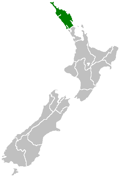
English: Region of New Zealand, position on the map (source:English Wiki)
| |
This work has been released into the public domain by its author, Furius, at the English Wikipedia project. This applies worldwide. In case this is not legally possible: |
File history
Click on a date/time to view the file as it appeared at that time.
| Date/Time | Thumbnail | Dimensions | User | Comment | |
|---|---|---|---|---|---|
| current | 07:40, 27 April 2005 | | 405 × 590 (7 KB) | Domie~commonswiki (talk | contribs) | Region of New Zealand, position on the map (source:English Wiki) {{PD}} Category:Maps of New Zealand |
You cannot overwrite this file.
File usage on Commons
The following page uses this file:
File usage on other wikis
The following other wikis use this file:
- Usage on af.wikipedia.org
- Usage on ceb.wikipedia.org
- Usage on de.wikivoyage.org
- Usage on en.wikipedia.org
- Horeke basalts
- Jellicoe Channel
- Cavalli Islands
- Cape Maria van Diemen
- Mount Hikurangi (Northland)
- Dargaville Aerodrome
- Aroha Island
- Aorangaia Island
- Araara Island
- Arakaninihi Island
- Template:Northland-geo-stub
- Maungataniwha Range
- Ngawha geothermal field
- Towai
- Taurikura
- Mount Manaia
- Omanaia
- Oromahoe
- Umawera
- Whangārei Falls
- Horahora, Whangārei
- Kokopu, New Zealand
- Titoki, New Zealand
- Pakotai
- Poroti
- Purua
- Tauraroa
- Rainbow Falls (Waianiwaniwa)
- Bulrush Lake (Northland)
- Half Mile Lagoon
- Lake Half
- Lake Humuhumu
- Lake Kahuparere
- Lake Kaiwai
- Lake Kanono
- Lake Kapoai
- Lake Karaka
- Lake Karoro / Mathews
- Lake Kihona
- Lake Manuwai
- Lake Mokeno
- Lake Morehurehu
- Lake Ngakapua
- Lake Ngakeketa
- Lake Ngatu
- Lake Ora
- Lake Otapuiti
View more global usage of this file.