File:Portugal Morocco Locator.png
Jump to navigation
Jump to search
Size of this preview: 567 × 600 pixels. Other resolutions: 227 × 240 pixels | 454 × 480 pixels | 726 × 768 pixels | 1,036 × 1,096 pixels.
Original file (1,036 × 1,096 pixels, file size: 48 KB, MIME type: image/png)
Captions
Captions
Add a one-line explanation of what this file represents

|
This locator map image could be re-created using vector graphics as an SVG file. This has several advantages; see Commons:Media for cleanup for more information. If an SVG form of this image is available, please upload it and afterwards replace this template with
{{vector version available|new image name}}.
It is recommended to name the SVG file “Portugal Morocco Locator.svg”—then the template Vector version available (or Vva) does not need the new image name parameter. |
Summary[edit]
| Description |
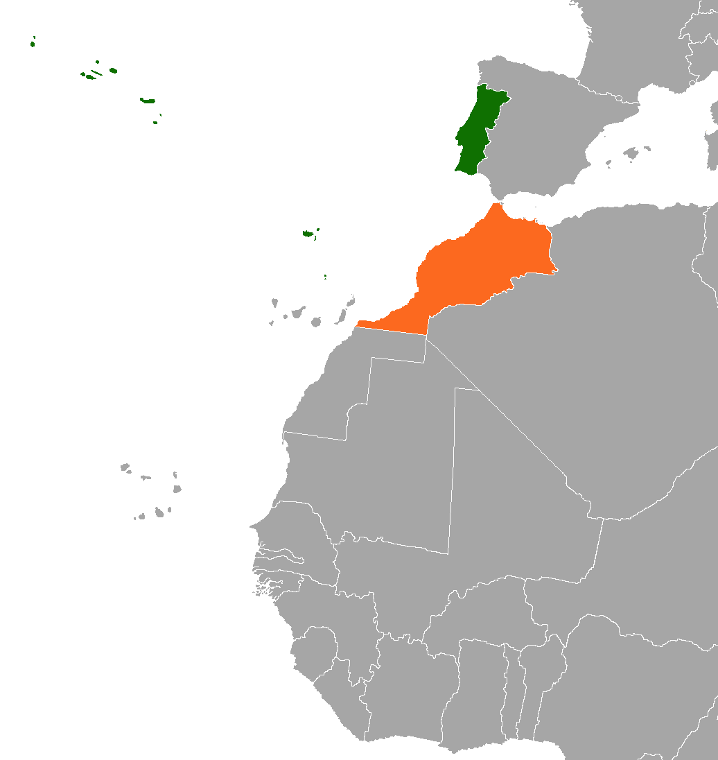
English: Portugal Morocco Locator |
| Date | |
| Source | Own work |
| Author | Phoenix B 1of3 |
| This file is made available under the Creative Commons CC0 1.0 Universal Public Domain Dedication. | |
| The person who associated a work with this deed has dedicated the work to the public domain by waiving all of their rights to the work worldwide under copyright law, including all related and neighboring rights, to the extent allowed by law. You can copy, modify, distribute and perform the work, even for commercial purposes, all without asking permission.
|
Licensing[edit]
I, the copyright holder of this work, hereby publish it under the following license:
| This file is made available under the Creative Commons CC0 1.0 Universal Public Domain Dedication. | |
| The person who associated a work with this deed has dedicated the work to the public domain by waiving all of their rights to the work worldwide under copyright law, including all related and neighboring rights, to the extent allowed by law. You can copy, modify, distribute and perform the work, even for commercial purposes, all without asking permission.
|
File history
Click on a date/time to view the file as it appeared at that time.
| Date/Time | Thumbnail | Dimensions | User | Comment | |
|---|---|---|---|---|---|
| current | 05:57, 13 November 2021 | | 1,036 × 1,096 (48 KB) | Aquintero82 (talk | contribs) | Updated map |
| 04:21, 11 March 2021 |  | 339 × 266 (9 KB) | Al.Massira (talk | contribs) | Reverted to version as of 21:42, 10 March 2021 (UTC) Per COM:OVERWRITE, restoring the original long standing version that was here for nine years longer | |
| 03:33, 11 March 2021 |  | 1,160 × 1,056 (80 KB) | Koavf (talk | contribs) | Reverted to version as of 21:41, 10 March 2021 (UTC) | |
| 21:42, 10 March 2021 |  | 339 × 266 (9 KB) | Al.Massira (talk | contribs) | Reverted to version as of 21:38, 10 March 2021 (UTC) Per COM:OVERWRITE I am restoring the original, longest standing version. Original file | |
| 21:41, 10 March 2021 |  | 1,160 × 1,056 (80 KB) | M.Bitton (talk | contribs) | Reverted to version as of 23:28, 29 December 2020 (UTC): Per COM:OVERWRITE | |
| 21:38, 10 March 2021 |  | 339 × 266 (9 KB) | Al.Massira (talk | contribs) | Reverted to version as of 16:24, 10 March 2021 (UTC) fair enough, going back to original file highlighting the Western Sahara region | |
| 21:31, 10 March 2021 |  | 1,160 × 1,056 (80 KB) | M.Bitton (talk | contribs) | Reverted to version as of 23:28, 29 December 2020 (UTC): Per COM:OVERWRITE | |
| 19:40, 10 March 2021 |  | 1,160 × 1,056 (46 KB) | Al.Massira (talk | contribs) | I made a version that seems more fair, going back to the newer map which is more detailed, a color switch is fine but highlighted the Western Sahara just like it was in the old/original version. I also put a dash border between them because the old version did not have a border between them, while the new version does, so a dashed line would be in the between. | |
| 16:24, 10 March 2021 |  | 339 × 266 (9 KB) | Al.Massira (talk | contribs) | Reverted to version as of 04:05, 19 August 2020 (UTC) original file and colors | |
| 23:28, 29 December 2020 |  | 1,160 × 1,056 (80 KB) | Aquintero82 (talk | contribs) | Updated map |
You cannot overwrite this file.
File usage on Commons
The following page uses this file:
File usage on other wikis
The following other wikis use this file:
- Usage on ar.wikipedia.org
- Usage on de.wikipedia.org
- Usage on en.wikipedia.org
- Usage on es.wikipedia.org
- Usage on fa.wikipedia.org
- Usage on he.wikipedia.org
- Usage on ru.wikipedia.org
- Usage on uk.wikipedia.org
- Usage on www.wikidata.org
- Usage on zh.wikipedia.org