File:Portage Glacier Highway 1955 map.png
Jump to navigation
Jump to search

No higher resolution available.
Portage_Glacier_Highway_1955_map.png (391 × 251 pixels, file size: 271 KB, MIME type: image/png)
Captions
Captions
Add a one-line explanation of what this file represents
Summary[edit]
| Description |
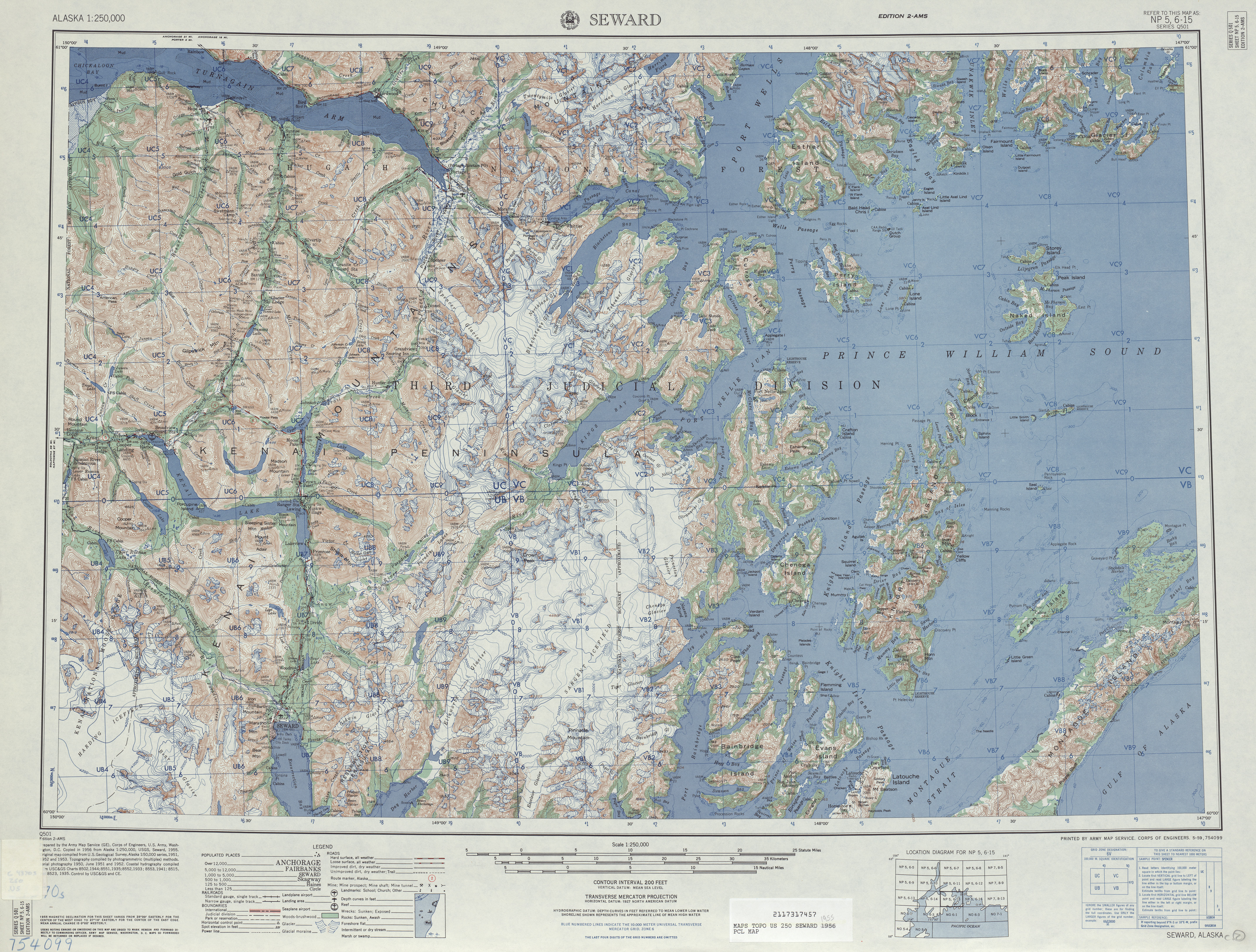
English: A 1955 USGS map of an unimproved, dry weather dirt road, which developed into the Portage Glacier Highway. |
| Date | |
| Source | 1955 USGS Anchorage Map |
| Author | United States Geological Survey |
Licensing[edit]
This image is in the public domain in the United States because it only contains materials that originally came from the United States Geological Survey, an agency of the United States Department of the Interior. For more information, see the official USGS copyright policy.
|
| This is a retouched picture, which means that it has been digitally altered from its original version. Modifications: Cropped to show highway.
|
File history
Click on a date/time to view the file as it appeared at that time.
| Date/Time | Thumbnail | Dimensions | User | Comment | |
|---|---|---|---|---|---|
| current | 06:33, 15 December 2013 | | 391 × 251 (271 KB) | A Texas Historian (talk | contribs) | User created page with UploadWizard |
You cannot overwrite this file.
File usage on Commons
The following page uses this file:
File usage on other wikis
The following other wikis use this file:
- Usage on en.wikipedia.org