File:Pont couvert La Macaza.jpg
Jump to navigation
Jump to search
Size of this preview: 800 × 473 pixels. Other resolutions: 320 × 189 pixels | 640 × 378 pixels | 1,024 × 605 pixels | 1,632 × 964 pixels.
Original file (1,632 × 964 pixels, file size: 620 KB, MIME type: image/jpeg)
Captions
Captions
Add a one-line explanation of what this file represents
Summary[edit]
| Description |
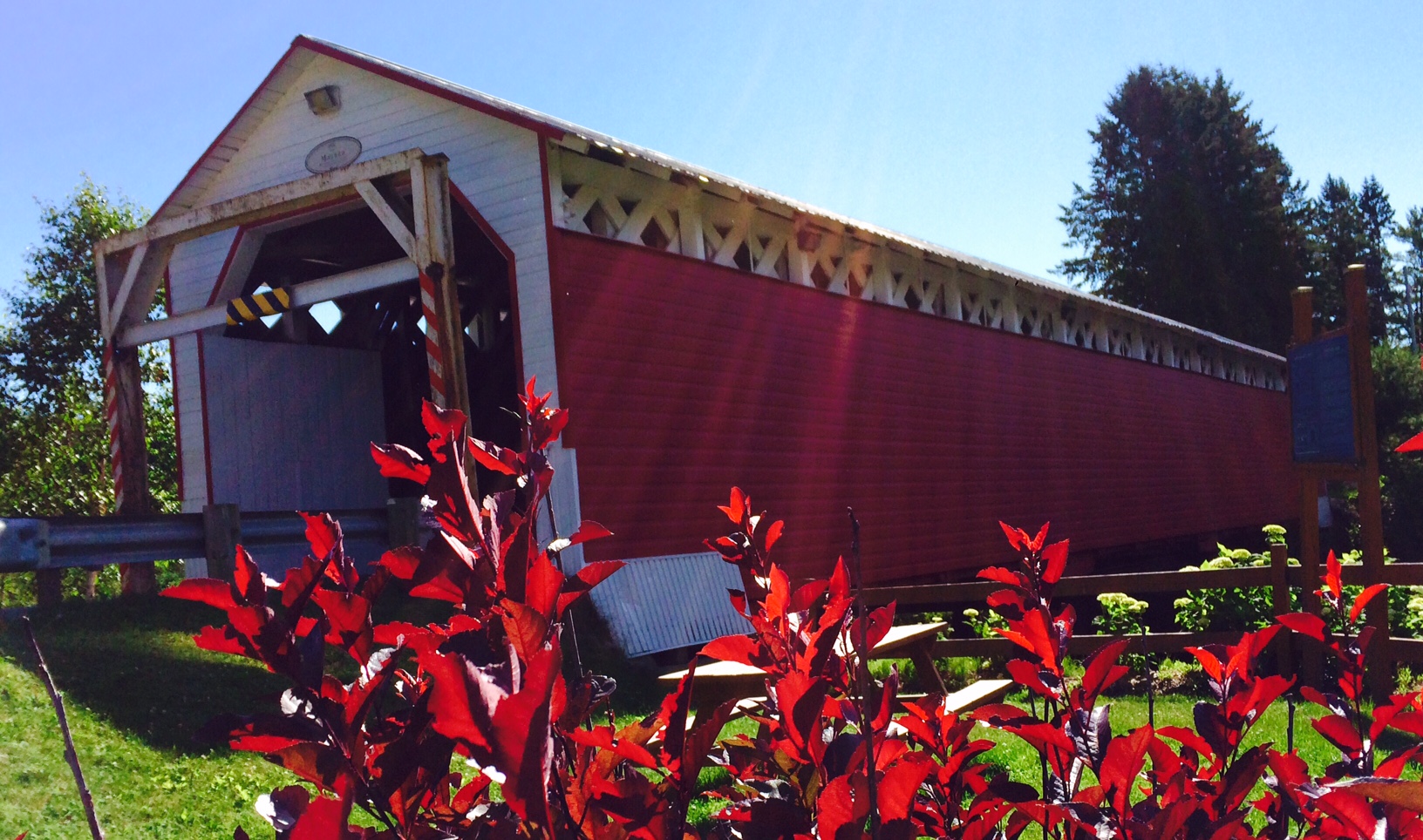
Français : Pont Couvert de La Macaza |
| Date | |
| Source | https://www.munilamacaza.ca/pont-couvert |
| Author | Angélique Durand Sauriol |
| Permission (Reusing this file) |
| Camera location | | View this and other nearby images on: OpenStreetMap |
|---|
Licensing[edit]
This file is licensed under the Creative Commons Attribution-Share Alike 3.0 Unported license.
- You are free:
- to share – to copy, distribute and transmit the work
- to remix – to adapt the work
- Under the following conditions:
- attribution – You must give appropriate credit, provide a link to the license, and indicate if changes were made. You may do so in any reasonable manner, but not in any way that suggests the licensor endorses you or your use.
- share alike – If you remix, transform, or build upon the material, you must distribute your contributions under the same or compatible license as the original.
J’autorise La Municipalité de La Macaza à utiliser ma photo à des fins publicitaires, sur des sites web ou pour toute autre besoin justifiable.
J’ai pris cette photo le 16 juillet 2018.
Angélique Durand Sauriol
Pont Macaza
File history
Click on a date/time to view the file as it appeared at that time.
| Date/Time | Thumbnail | Dimensions | User | Comment | |
|---|---|---|---|---|---|
| current | 16:53, 18 December 2019 | | 1,632 × 964 (620 KB) | La Macaza (talk | contribs) | User created page with UploadWizard |
You cannot overwrite this file.
File usage on Commons
The following page uses this file:
File usage on other wikis
The following other wikis use this file:
- Usage on fr.wikipedia.org