File:Plan de la ville, du château et des fortifications de Brest.jpg
Jump to navigation
Jump to search
No higher resolution available.
Plan_de_la_ville,_du_château_et_des_fortifications_de_Brest.jpg (509 × 354 pixels, file size: 98 KB, MIME type: image/jpeg)
Captions
Captions
Add a one-line explanation of what this file represents
Summary[edit]
| Description |
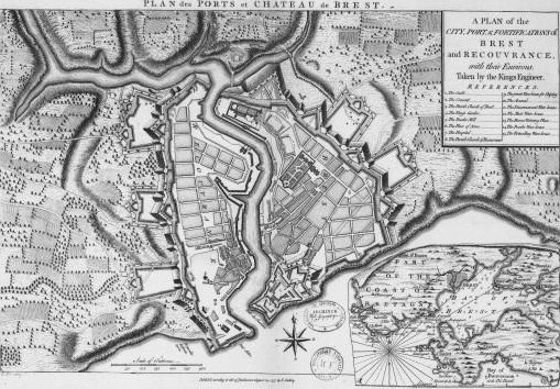
Français : Plan de la ville, du château et des fortifications de Brest (A plan of the city, port and fortifications of Brest and recouvrance with their environs) par Edward Oakley, XVIIIe siècle |
| Date | |
| Source |
Bibliothèque nationale de France |
| Author | Edward Oakley (17??-17??) |
Licensing[edit]
|
This work is in the public domain in its country of origin and other countries and areas where the copyright term is the author's life plus 100 years or fewer. | |
| This file has been identified as being free of known restrictions under copyright law, including all related and neighboring rights. | |
File history
Click on a date/time to view the file as it appeared at that time.
| Date/Time | Thumbnail | Dimensions | User | Comment | |
|---|---|---|---|---|---|
| current | 06:01, 8 October 2011 | | 509 × 354 (98 KB) | Moreau.henri (talk | contribs) |
You cannot overwrite this file.
File usage on Commons
The following page uses this file: