File:Plan af Helsingfors 1876.jpeg
Jump to navigation
Jump to search

Size of this preview: 753 × 600 pixels. Other resolutions: 301 × 240 pixels | 603 × 480 pixels | 964 × 768 pixels | 1,280 × 1,020 pixels | 2,560 × 2,040 pixels | 9,016 × 7,184 pixels.
Original file (9,016 × 7,184 pixels, file size: 7.54 MB, MIME type: image/jpeg)
Captions
Captions
Add a one-line explanation of what this file represents
| Title |
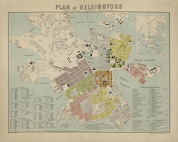
Svenska: Plan af Helsingfors |
|||||||||||||||||||||||
| Description |
Mittakaava laskettu janamittakaavasta. Pahville liimattu. |
|||||||||||||||||||||||
| Date | ||||||||||||||||||||||||
| Source |
|
|||||||||||||||||||||||
| Permission (Reusing this file) |
|
|||||||||||||||||||||||
| Geotemporal data | ||||||||||||||||||||||||
| Map location | Helsinki | |||||||||||||||||||||||
| Georeferencing | ||||||||||||||||||||||||
| Bibliographic data | ||||||||||||||||||||||||
| Publisher |
G. W. Edlunds förlag, Helsingfors |
|||||||||||||||||||||||
| Archival data | ||||||||||||||||||||||||
| Collection |
|
|||||||||||||||||||||||
| Accession number | ||||||||||||||||||||||||


File history
Click on a date/time to view the file as it appeared at that time.
| Date/Time | Thumbnail | Dimensions | User | Comment | |
|---|---|---|---|---|---|
| current | 16:48, 4 February 2015 | | 9,016 × 7,184 (7.54 MB) | Artturimatias (talk | contribs) | uploaded with click2commons |
You cannot overwrite this file.
File usage on Commons
The following page uses this file: