File:Place de la Daurade à Toulouse - Ecole primaire Lakanal 1613.jpg
Jump to navigation
Jump to search
Size of this preview: 800 × 542 pixels. Other resolutions: 320 × 217 pixels | 640 × 434 pixels | 1,024 × 694 pixels | 1,280 × 867 pixels | 2,994 × 2,028 pixels.
Original file (2,994 × 2,028 pixels, file size: 3.66 MB, MIME type: image/jpeg)
Captions
Captions
Add a one-line explanation of what this file represents
Summary[edit]
|
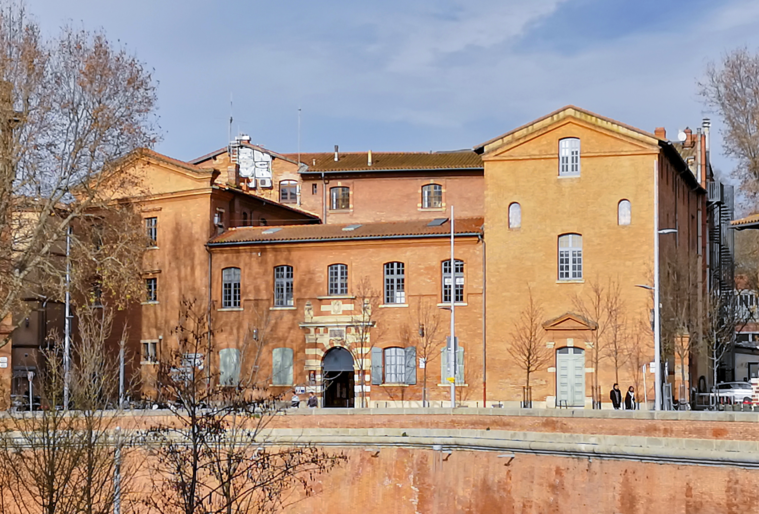
Ecole primaire Lakanal in Toulouse | |||||||||||||||||
|
| |||||||||||||||||

File history
Click on a date/time to view the file as it appeared at that time.
| Date/Time | Thumbnail | Dimensions | User | Comment | |
|---|---|---|---|---|---|
| current | 17:46, 25 December 2018 | | 2,994 × 2,028 (3.66 MB) | Archaeodontosaurus (talk | contribs) | {{Information |description ={{en|1=df}} |date = |source ={{own}} |author =User:Archaeodontosaurus }} |
You cannot overwrite this file.
File usage on Commons
The following 2 pages use this file:
File usage on other wikis
The following other wikis use this file:
- Usage on fr.wikipedia.org