File:Pfaelzerwaldkarte.png
Jump to navigation
Jump to search

Size of this preview: 510 × 600 pixels. Other resolutions: 204 × 240 pixels | 408 × 480 pixels | 653 × 768 pixels | 870 × 1,024 pixels | 1,741 × 2,048 pixels | 2,905 × 3,417 pixels.
Original file (2,905 × 3,417 pixels, file size: 14.46 MB, MIME type: image/png)
Captions
Captions
Add a one-line explanation of what this file represents
Summary
[edit]| Description |
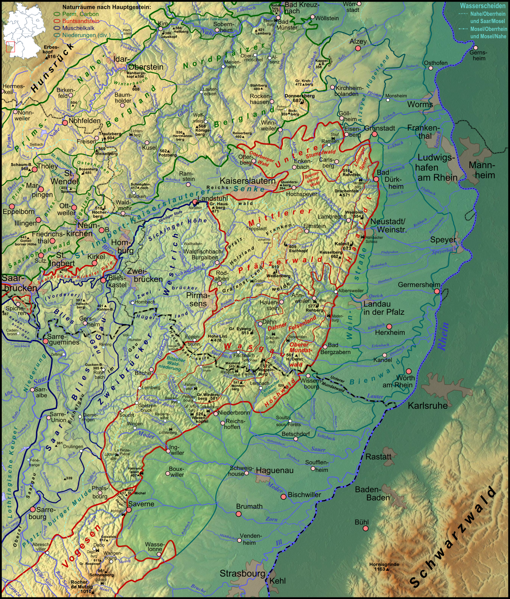
Deutsch: Karte des de:Pfälzerwaldes auf Basis der naturräumlichen Gliederung der Bundesanstalt für Landeskunde, z.T. modifiziert, siehe Naturraumkarte |
| Date | 2011-11-29, completely new at 2011-12-24 |
| Source |
Own work
|
| Author | Elop |
| Other versions |
|
Galerie aller abgeleiteten Karten
[edit]-
 Hiesige Hauptkarte
 -
 Zugrunde liegende Naturraumkarte
 -
 Flussgebietskarte
 -
 Flussgebietskarte Pfälzische Hauptwasserscheiden


Einzelflussgebietskarten
[edit]Saar
[edit]-
 Isch
Isch -
 Eichel
 -
 Blies
Blies -
 Schwarzbach
 -
 Hornbach


Nahe
[edit]-
 Glan
Glan -
 Waldlauter
 -
 Alsenz
 -
 Appelbach-Wiesbach


Oberrhein
[edit]-
 Pfrimm
 -
 Eisbach-Eckbach
 -
 Isenach
 -
 Speyerbach
 -
 Queich
 -
 Klingbach-Erlenbach-Otterbach
 -
 Wieslauter
 -
 Sauer
Sauer -
 Moder
Moder -
 Zorn
Zorn


Landschaften
[edit]Rheinhessisches Tafel- und Hügelland und Nordpfälzer Bergland
[edit]-
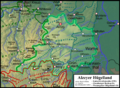 Alzeyer Huegelland
 -
 Nordpfälzer Bergland
 -
 St. Ingbert-Kaiserslauterer Senke


- Ausschnittskarten Nordpfälzer Bergland in einheitlicher Breite von 1035 Pixeln (10 px Rand)
-
 Kirner Nahewinkel und Soberner Talweitung (NW)
 -
 Glan-Alsenz-Höhen (M–N)
 -
 Porphyrbergland von Münster am Stein und Wiesener Randhöhen (NW)
 -
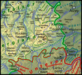
 Königsberg-Potzberg-Gruppe, Lichtenberg-Höhenrücken und Obere Lauterhöhen (M)
 -
 Donnersbergmassiv und Kaiserstraßensenke (O)
 -
 Kuseler Bergtland, Osterhöhen und Höcherberg (SW)
 -
 Lauterhöhen (S)


- Ausschnittskarten St. Ingbert-Kaiserslauterer Senke in einheitlicher Breite von 1035 Pixeln (10 px Rand)
-
 St. Ingberter Senke, Kirkeler Schwelle, Homburger Becken und Bexbacher Riedel (W)
 -
 Peterswaldmoor, Landstuhler Bruch und Nordrand der Westpfälzer Moorniederung (M)
 -
 Landstuhler Bruch und Kaiserslauterer Becken (O)
.png)
.png)
.png)
Pfälzisch-Saarländisches Muschelkalkgebiet
[edit]-
 Pfälzisch-Saarländisches Muschelkalkgebiet
 -
 Zweibrücker Westrich
 -
 Naturräume Westricher Hochfläche
 -
 Saar-Blies-Gau
 -
 Saarbrücken-Kirkeler Wald
 -
 Saarbrücken-Kirkeler Wald kompakt


Pfälzerwald
[edit]-
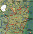
 Pfälzerwald kompakt
 -
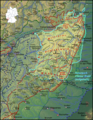
 Naturräume Pfälzerwald
 -
 Unterer Pfälzerwald
 -
 Otterberger Wald
 -
 Quaidersberg
 -
 Stumpfwald
 -
 Mittlerer Pfälzerwald
 -
 Haardt
 -
 Wasgau
 -
 Dahn-Annweiler Felsenland
 -
 Oberer Mundatwald und Hochwald


Historische Landschaften
[edit]-
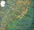
 Naturpark Pfälzerwald
 -
 Leiningerland
 -
 Diemersteiner Wald
 -
 Pfälzisches Holzland
 -
 Gräfensteiner Land
 -
 Frankenweide
 -
 Hackmesserseite
 -
 Oberer und Unterer Mundatwald


Licensing
[edit]

|
Permission is granted to copy, distribute and/or modify this document under the terms of the GNU Free Documentation License, Version 1.2 or any later version published by the Free Software Foundation; with no Invariant Sections, no Front-Cover Texts, and no Back-Cover Texts. A copy of the license is included in the section entitled GNU Free Documentation License. |
File history
Click on a date/time to view the file as it appeared at that time.
| Date/Time | Thumbnail | Dimensions | User | Comment | |
|---|---|---|---|---|---|
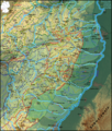
| current | 12:29, 25 June 2020 | | 2,905 × 3,417 (14.46 MB) | Wikibenutzer96 (talk | contribs) | Some cities added (Sulzbach, Kendal, Bexbach und Obermoschel) |
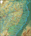
| 16:09, 1 February 2012 |  | 2,905 × 3,417 (14.77 MB) | Elop (talk | contribs) | k | |
| 18:40, 18 January 2012 |  | 2,905 × 3,417 (14.77 MB) | Elop (talk | contribs) | k | |
| 19:34, 17 January 2012 |  | 2,905 × 3,417 (14.77 MB) | Elop (talk | contribs) | update | |
| 15:47, 10 January 2012 |  | 2,905 × 3,417 (14.72 MB) | Elop (talk | contribs) | completely new | |
| 21:09, 16 December 2011 |  | 1,382 × 1,137 (2.29 MB) | Elop (talk | contribs) | Update | |
| 02:28, 12 December 2011 |  | 1,382 × 1,137 (2.29 MB) | Elop (talk | contribs) | insbesondere Ortsstruktur | |
| 18:16, 8 December 2011 |  | 1,382 × 1,137 (2.25 MB) | Elop (talk | contribs) | v.a. Wasserscheide präzisiert | |
| 20:14, 7 December 2011 |  | 1,382 × 1,137 (2.26 MB) | Elop (talk | contribs) | k | |
| 19:49, 7 December 2011 |  | 1,382 × 1,137 (2.26 MB) | Elop (talk | contribs) | Ergänzungen; Einfärbung des Westrichs nur vorläufig, jedoch soll dessen Einrahmung bleiben |
You cannot overwrite this file.
File usage on Commons
The following 3 pages use this file:
File usage on other wikis
The following other wikis use this file:
- Usage on de.wikipedia.org
- Portal:Pfälzerwald
- Portal Diskussion:Pfälzerwald
- Portal:Pfälzerwald/Kopf
- Benutzer:Cvf-ps/Baustelle
- Portal:Pfälzerwald/Kopf1
- Diskussion:Pfälzerwald/Archiv/1
- Geologie des Pfälzerwaldes
- Benutzer Diskussion:Elop/Archiv 2011
- Wikipedia:Kartenwerkstatt/Archiv/2011-12
- Diskussion:Pfälzerwald/Archiv/2
- Benutzer:Elop/Galerie/Karten
- Usage on en.wikipedia.org
- Usage on es.wikipedia.org
- Usage on fi.wikipedia.org
- Usage on fr.wikipedia.org
- Usage on pdc.wikipedia.org
- Usage on pl.wikipedia.org
- Usage on pl.wikivoyage.org
- Usage on sv.wikipedia.org