File:Peacearchplayground.jpg
Jump to navigation
Jump to search

Size of this preview: 800 × 600 pixels. Other resolutions: 320 × 240 pixels | 640 × 480 pixels | 1,024 × 768 pixels | 1,280 × 960 pixels | 2,048 × 1,536 pixels.
Original file (2,048 × 1,536 pixels, file size: 1.41 MB, MIME type: image/jpeg)
Captions
Captions
Add a one-line explanation of what this file represents
Summary[edit]
| Description |
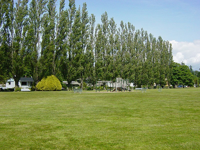
English: Playground at Peace Arch Park in Blaine, Washington on the US/Canada border. Playground is in the USA. The international boundary is immediately behind the row of trees and the homes in the background are in Canada, sited along 0 Avenue which runs parallel to and just north of the border. Canadian residents are permitted to cross freely into the park. |
| Date | |
| Source | Own work |
| Author | Dtbrown |
| Camera location | | View this and other nearby images on: OpenStreetMap |
|---|
Licensing[edit]
| I, the copyright holder of this work, release this work into the public domain. This applies worldwide. In some countries this may not be legally possible; if so: I grant anyone the right to use this work for any purpose, without any conditions, unless such conditions are required by law. |
File history
Click on a date/time to view the file as it appeared at that time.
| Date/Time | Thumbnail | Dimensions | User | Comment | |
|---|---|---|---|---|---|
| current | 19:36, 2 July 2008 | | 2,048 × 1,536 (1.41 MB) | Dtbrown (talk | contribs) | {{Information |Description={{en|1=Playground at Peace Arch Park in Blaine, Washington on the US/Canada border. Playground is in the USA. The international boundary is immediately behind the row of trees and the homes in the background are in Canada. Canad |
You cannot overwrite this file.
File usage on Commons
There are no pages that use this file.
File usage on other wikis
The following other wikis use this file:
- Usage on ru.wikipedia.org