File:Park Pamięci Wielkiej Synagogi w Oświęcimiu - widok z lotu ptaka (3).jpg
Jump to navigation
Jump to search

Size of this preview: 790 × 599 pixels. Other resolutions: 316 × 240 pixels | 633 × 480 pixels | 1,012 × 768 pixels | 1,280 × 971 pixels | 2,560 × 1,943 pixels | 2,699 × 2,048 pixels.
Original file (2,699 × 2,048 pixels, file size: 2.07 MB, MIME type: image/jpeg)
Captions
Captions
Add a one-line explanation of what this file represents
Summary
[edit].jpg&action=edit§ion=1)
| Description |
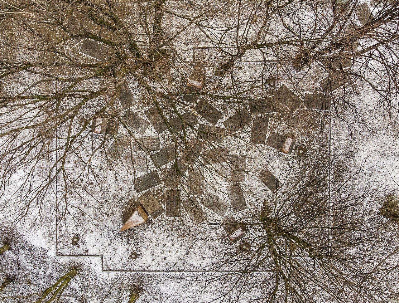
Polski: Park Pamięci Wielkiej Synagogi w Oświęcimiu - widok z lotu ptaka |
| Date | |
| Source | Centrum Żydowskie w Oświęcimiu |
| Author | Piotr Strycharski |
| Permission (Reusing this file) |
| Camera location | | View this and other nearby images on: OpenStreetMap |
|---|
.jpg¶ms=050.038349_N_0019.219756_E_globe:Earth_type:camera__&language=en)
Licensing
[edit].jpg&action=edit§ion=2)
This file is licensed under the Creative Commons Attribution 4.0 International license.
- You are free:
- to share – to copy, distribute and transmit the work
- to remix – to adapt the work
- Under the following conditions:
- attribution – You must give appropriate credit, provide a link to the license, and indicate if changes were made. You may do so in any reasonable manner, but not in any way that suggests the licensor endorses you or your use.
File history
Click on a date/time to view the file as it appeared at that time.
| Date/Time | Thumbnail | Dimensions | User | Comment | |
|---|---|---|---|---|---|
| current | 22:15, 16 November 2021 | | 2,699 × 2,048 (2.07 MB) | Marta Malina Moraczewska (talk | contribs) | Uploaded a work by Piotr Strycharski from Centrum Żydowskie w Oświęcimiu with UploadWizard |
You cannot overwrite this file.
File usage on Commons
There are no pages that use this file.
File usage on other wikis
The following other wikis use this file:
- Usage on outreach.wikimedia.org
- Usage on pl.wikipedia.org
.jpg&oldid=609339357)