File:Paraguay map, 1875.jpg

Original file (1,528 × 2,060 pixels, file size: 894 KB, MIME type: image/jpeg)
Captions
Captions
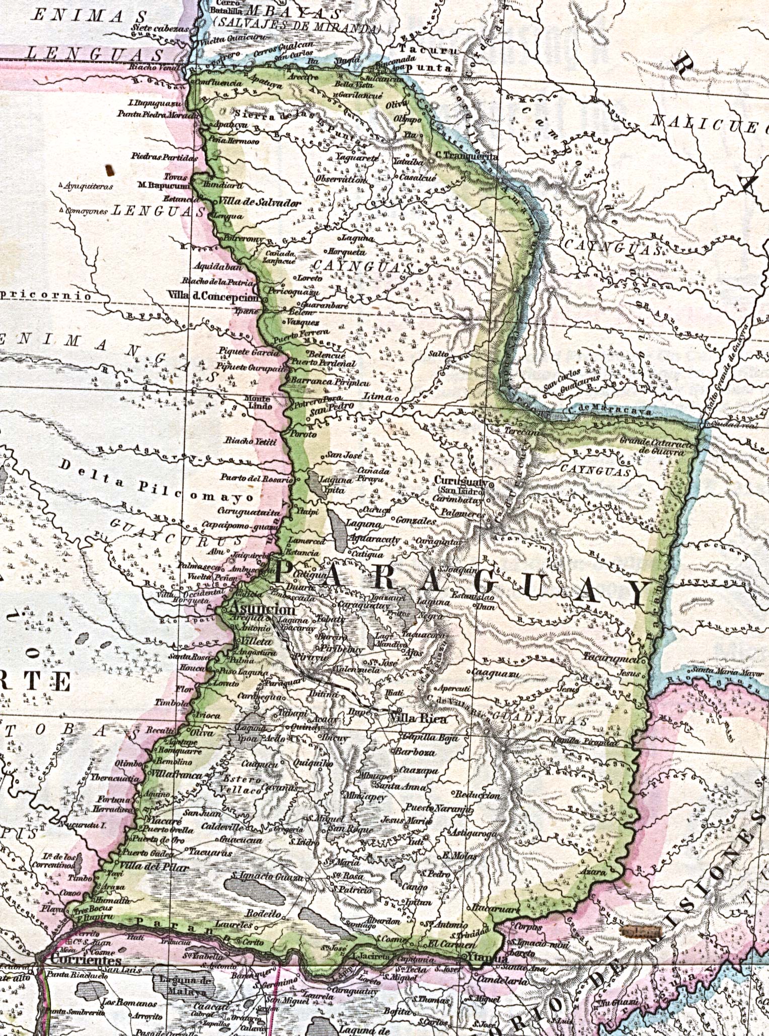
Map of Paraguay in 1875, after the War of Triple Alliance.
Source: University of Texas website, Perry-Castañeda map colection: http://www.lib.utexas.edu/maps/historical/paraguay_1875.jpg
Licensing
[edit]
This file is in the public domain because most of the maps scanned by the University of Texas Libraries and served from their web site are in the public domain. No permissions are needed to copy them. This map is not marked as copyrighted.
|
|
This work is in the public domain in its country of origin and other countries and areas where the copyright term is the author's life plus 70 years or fewer.
| |
| This file has been identified as being free of known restrictions under copyright law, including all related and neighboring rights. | |
File history
Click on a date/time to view the file as it appeared at that time.
| Date/Time | Thumbnail | Dimensions | User | Comment | |
|---|---|---|---|---|---|
| current | 17:06, 12 December 2008 | | 1,528 × 2,060 (894 KB) | MaGioZal (talk | contribs) | Map of Paraguay in 1875, after the War of Triple Alliance. Source: [http://wwwutexas.edu/ University of Texas website], Perry-Castañeda map colection: http://www.lib.utexas.edu/maps/historical/paraguay_1875.jpg == License information == {{P |
You cannot overwrite this file.
File usage on Commons
There are no pages that use this file.