File:Pacaya, former lava stream (15956756861).jpg

Original file (5,184 × 3,456 pixels, file size: 5.88 MB, MIME type: image/jpeg)
Captions
Captions
Summary[edit]
.jpg&action=edit§ion=1)
| Description |
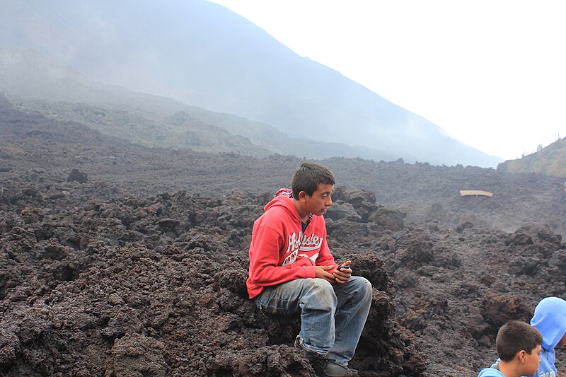
Pacaya, former lava stream Pacaya is an active complex volcano, 30 kilometers southwest of Guatemala City and close to Antigua. Pacaya rises to an elevation of 2,552 metres. After being dormant for a century, it erupted violently in 1965 and has been erupting continuously since then. Much of its activity is Strombolian, but occasional Plinian eruptions also occur, sometimes showering the area of the nearby Departments with ash. So far, the last activity reported has been the eruption that peaked on May 27, 2010, causing ash to rain down in Guatemala City, Antigua and Escuintla. The Pacaya volcano is a part of the Central American Volcanic Arc, a chain of volcanoes stretching from the northwest to the southeast along the Pacific coast of Central America, formed by the tectonic subduction of the Cocos Tectonic Plate beneath the Caribbean Plate. Pacaya lies on the southern edge of a sizable volcanic caldera formed in the Pleistocene age which contains Lago de Amatitlán. This caldera has been the source of at least nine very large explosions over the past 300,000 years, erupting a total of about 70 cubic kilometres of magma. After the last caldera-forming eruption 23,000 years ago several smaller vents within and around the caldera have seen eruptive activity. Pacaya is the largest post-caldera volcano, and has been one of Central America's most active volcanoes over the last 500 years. It has erupted at least 23 times since the Spanish conquest, producing basalt and basaltic andesite. About 1,100 years ago, the volcano's edifice collapsed, causing a huge landslide. Deposits from the landslide travelled about 25 kilometres from the volcano down to the Pacific coastal plain. The landslide left a large crater, within which the current active cone has grown. The presence of a magma chamber at shallow depths beneath Pacaya means that distortion of the cone leading to instability and future landslides remains a hazard to the surrounding areas. (source: en.wikipedia.org/wiki/Pacaya) |
| Date | |
| Source | Pacaya, former lava stream |
| Author | Arian Zwegers from Brussels, Belgium |
| Camera location | | View this and other nearby images on: OpenStreetMap |
|---|
.jpg¶ms=014.378067_N_-090.625362_E_globe:Earth_type:camera_source:Flickr_&language=en)
Licensing[edit]
.jpg&action=edit§ion=2)
- You are free:
- to share – to copy, distribute and transmit the work
- to remix – to adapt the work
- Under the following conditions:
- attribution – You must give appropriate credit, provide a link to the license, and indicate if changes were made. You may do so in any reasonable manner, but not in any way that suggests the licensor endorses you or your use.
| This image was originally posted to Flickr by Arian Zwegers at https://flickr.com/photos/67769030@N07/15956756861. It was reviewed on 30 August 2017 by FlickreviewR and was confirmed to be licensed under the terms of the cc-by-2.0. |
File history
Click on a date/time to view the file as it appeared at that time.
| Date/Time | Thumbnail | Dimensions | User | Comment | |
|---|---|---|---|---|---|
| current | 11:17, 30 August 2017 | | 5,184 × 3,456 (5.88 MB) | Спасимир (talk | contribs) | Transferred from Flickr via Flickr2Commons |
You cannot overwrite this file.
File usage on Commons
There are no pages that use this file.
.jpg&oldid=707536591)