File:POL gmina Komańcza COA.svg
Jump to navigation
Jump to search

Size of this PNG preview of this SVG file: 439 × 511 pixels. Other resolutions: 206 × 240 pixels | 412 × 480 pixels | 660 × 768 pixels | 880 × 1,024 pixels | 1,759 × 2,048 pixels.
Original file (SVG file, nominally 439 × 511 pixels, file size: 76 KB)
Captions
Captions
Add a one-line explanation of what this file represents
Summary[edit]
| Description |
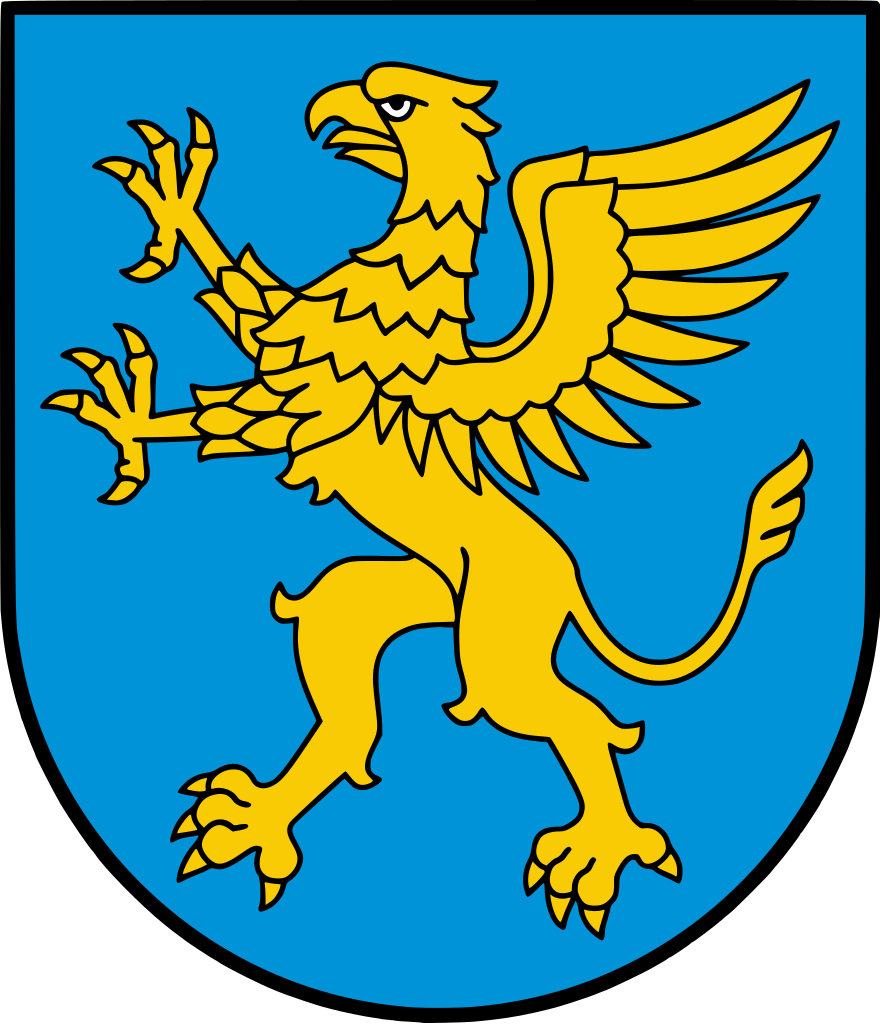
Polski: Herb gminy Komańcza |
| Date | |
| Source | https://komancza.pl/bip/dokument/4e4158cff2321c1950e4901efa42b115.pdf |
| Author | Unknown, vectorized by Avalokitesvara |
Licensing[edit]
This image is in the public domain according to Article 4, case 2 of the Polish Copyright Law Act of February 4, 1994 (Dz. U. z 2022 r. poz. 2509 with later changes) "normative acts and drafts thereof as well as official documents, materials, signs and symbols are not subject to copyrights". Hence it is assumed that this image has been released into public domain. However in some instances the use of this image in Poland might be regulated by other laws.
|
 |
File history
Click on a date/time to view the file as it appeared at that time.
| Date/Time | Thumbnail | Dimensions | User | Comment | |
|---|---|---|---|---|---|
| current | 19:47, 26 August 2021 | | 439 × 511 (76 KB) | Avalokitesvara (talk | contribs) | Uploaded a work by Unknown, vectorized by Avalokitesvara from https://komancza.pl/bip/dokument/4e4158cff2321c1950e4901efa42b115.pdf with UploadWizard |
You cannot overwrite this file.
File usage on Commons
There are no pages that use this file.
File usage on other wikis
The following other wikis use this file:
- Usage on en.wikipedia.org
- Radoszyce, Podkarpackie Voivodeship
- Nowy Łupków
- Komańcza
- Gmina Komańcza
- Wisłok Wielki
- Template:Gmina Komańcza
- Balnica
- Banniczka
- Czystogarb
- Dołżyca, Sanok County
- Duszatyn
- Jasiel, Podkarpackie Voivodeship
- Jawornik, Sanok County
- Kulaszne
- Łupków
- Maniów, Podkarpackie Voivodeship
- Mików
- Moszczaniec
- Osławica, Podkarpackie Voivodeship
- Polany Surowiczne
- Prełuki
- Rzepedź
- Smolnik, Sanok County
- Surowica, Podkarpackie Voivodeship
- Szczawne
- Turzańsk
- Wola Michowa
- Wysoczany
- Zawadka Morochowska
- Usage on pl.wikipedia.org
- Komańcza
- Duszatyn
- Jawornik (powiat sanocki)
- Radoszyce (województwo podkarpackie)
- Kulaszne
- Stary Łupków
- Maniów (województwo podkarpackie)
- Osławica (województwo podkarpackie)
- Rzepedź
- Szczawne (wieś)
- Smolnik (powiat sanocki)
- Turzańsk
- Wysoczany
- Komańcza (gmina)
- Wisłok Wielki
- Czystogarb
- Prełuki
- Wola Michowa
- Nowy Łupków
- Balnica
- Mików
View more global usage of this file.