File:P5170080 Gravel bar.JPG
Jump to navigation
Jump to search

Size of this preview: 800 × 590 pixels. Other resolutions: 320 × 236 pixels | 640 × 472 pixels | 1,024 × 755 pixels | 1,280 × 944 pixels | 2,560 × 1,889 pixels | 3,886 × 2,867 pixels.
Original file (3,886 × 2,867 pixels, file size: 5.12 MB, MIME type: image/jpeg)
Captions
Captions
Add a one-line explanation of what this file represents
| Description |
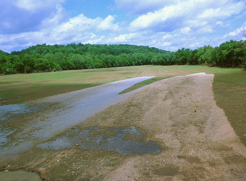
Deutsch: Kies und Sand abgelagert durch die Duck River auf der stromaufwärts gelegenen Seite der Brücke auf TN SR-50 in Only, Tennessee während des Hochwassers im Mai 2010.
English: Gravel and sand deposited by the Duck River on the upstream side of the bridge on TN SR-50 at Only, Tennessee during the flooding in May 2010.
Español: Grava y arena depositada por el río Pato en el lado de aguas arriba del puente sobre TN SR-50, en Only, Tennessee durante las inundaciones de mayo de 2010.
Français : Gravier et de sable déposés par la rivière Canard sur le côté en amont du pont sur TN SR-50 chez Only, Tennessee lors des inondations en mai 2010. |
||
| Date | |||
| Source | Own work | ||
| Author | SBaker43 | ||
| Permission (Reusing this file) |
I, the copyright holder of this work, hereby publish it under the following licenses: This file is licensed under the Creative Commons Attribution-Share Alike 3.0 Unported license.
You may select the license of your choice. |

| Camera location | | View this and other nearby images on: OpenStreetMap |
|---|
File history
Click on a date/time to view the file as it appeared at that time.
| Date/Time | Thumbnail | Dimensions | User | Comment | |
|---|---|---|---|---|---|
| current | 05:26, 25 December 2010 | | 3,886 × 2,867 (5.12 MB) | SBaker43 (talk | contribs) | {{Information |Description={{en|1=Gravel bar deposited by Duck River upstream of TN SR-50 bridge at Only, TN--2010 May Flooding.}} |Source={{own}} |Author=SBaker43 |Date=2010-05-17 |Permission= |other_versions= }} {{Location|35|52|14.9|N |
You cannot overwrite this file.
File usage on Commons
There are no pages that use this file.