File:Outline Map of Novgorod.svg
Jump to navigation
Jump to search

Size of this PNG preview of this SVG file: 584 × 600 pixels. Other resolutions: 234 × 240 pixels | 467 × 480 pixels | 748 × 768 pixels | 997 × 1,024 pixels | 1,995 × 2,048 pixels | 1,120 × 1,150 pixels.
Original file (SVG file, nominally 1,120 × 1,150 pixels, file size: 112 KB)
Captions
Captions
Add a one-line explanation of what this file represents
Summary
[edit]
| Description |
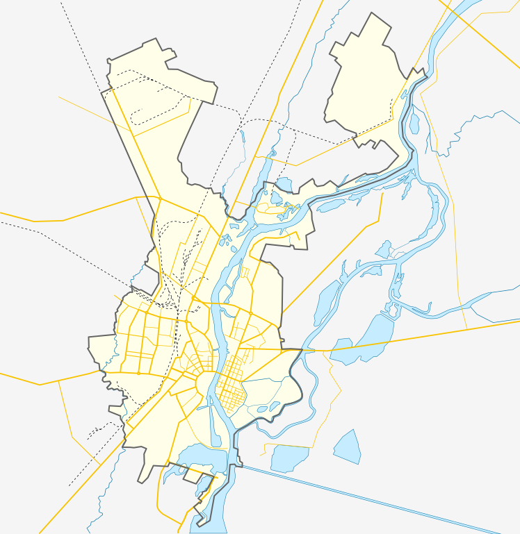
Русский: Позиционная карта Великого Новгорода
English: Outline map of Veliky Novgorod, covering the entire city domain, from lake Ilmen to the former airport in the north. |
| Date | |
| Source | Own work |
| Author | Loginname |
| Other versions |
Derivative works of this file: |
| Object location | | View this and other nearby images on: OpenStreetMap |
|---|
Licensing
[edit]
I, the copyright holder of this work, hereby publish it under the following license:
This file is licensed under the Creative Commons Attribution-Share Alike 3.0 Unported license.
- You are free:
- to share – to copy, distribute and transmit the work
- to remix – to adapt the work
- Under the following conditions:
- attribution – You must give appropriate credit, provide a link to the license, and indicate if changes were made. You may do so in any reasonable manner, but not in any way that suggests the licensor endorses you or your use.
- share alike – If you remix, transform, or build upon the material, you must distribute your contributions under the same or compatible license as the original.
File history
Click on a date/time to view the file as it appeared at that time.
| Date/Time | Thumbnail | Dimensions | User | Comment | |
|---|---|---|---|---|---|
| current | 14:03, 16 November 2014 | | 1,120 × 1,150 (112 KB) | Loginname (talk | contribs) | - |
| 20:06, 15 November 2014 |  | 1,120 × 1,150 (117 KB) | Loginname (talk | contribs) | добавлены границы микрорайонов | |
| 09:36, 17 July 2012 |  | 1,120 × 1,150 (104 KB) | Loginname (talk | contribs) | - | |
| 09:33, 17 July 2012 |  | 1,120 × 1,150 (104 KB) | Loginname (talk | contribs) | ||
| 07:37, 13 September 2011 |  | 1,120 × 1,150 (103 KB) | Loginname (talk | contribs) | - | |
| 09:53, 11 September 2011 |  | 1,120 × 1,150 (90 KB) | Loginname (talk | contribs) | - | |
| 23:38, 10 September 2011 |  | 1,120 × 1,150 (90 KB) | Loginname (talk | contribs) |
You cannot overwrite this file.
File usage on Commons
The following 7 pages use this file:
File usage on other wikis
The following other wikis use this file:
- Usage on eo.wikipedia.org
- Usage on fi.wikipedia.org
- Usage on fr.wikipedia.org
- Usage on hr.wikipedia.org
- Usage on hu.wikipedia.org
- Usage on pl.wikipedia.org
- Usage on pl.wikibooks.org
- Usage on ru.wikipedia.org
- Великий Новгород
- Рюриково городище
- Сиверсов канал
- Храм Петра и Павла (Великий Новгород)
- Перынь
- Церковь Петра и Павла в Кожевниках
- Церковь Спаса Преображения на Ильине улице
- Церковь Двенадцати Апостолов на Пропастех
- Малый Волховец
- Гзень
- Исторические памятники Новгорода и окрестностей
- Мячино (озеро)
- Церковь Власия на Волосовой улице
- Церковь Феодора Стратилата на Щиркове улице
- Церковь Иоанна Богослова на Витке
- Церковь Димитрия Солунского (Великий Новгород)
- Деревянка (протока)
- Шаблон:ПозКарта Россия Новгородская область Городской округ Великий Новгород
- Николо-Кочановская церковь
- Церковь Александра Невского (Великий Новгород)
- Дом Берга
- Селище на реке Прость
View more global usage of this file.