File:Ottarshögen - KMB - 16000300023646.jpg
Ottarshögen_-_KMB_-_16000300023646.jpg (742 × 476 pixels, file size: 81 KB, MIME type: image/jpeg)
Captions
Captions
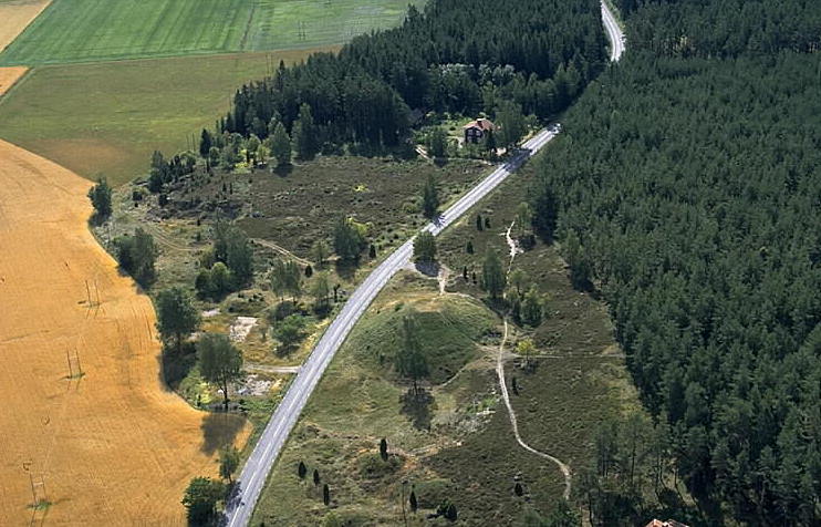
| Ottarshögen
( |
|||||||||||||||||||||||||||
|---|---|---|---|---|---|---|---|---|---|---|---|---|---|---|---|---|---|---|---|---|---|---|---|---|---|---|---|
| Photographer |
|
||||||||||||||||||||||||||
| Title |
Ottarshögen |
||||||||||||||||||||||||||
| Original caption |
Notera Av dokumentationsskäl har originalbeskrivningen från Riksantikvarieämbetet behållits. Tillrättalägganden och alternativa beskrivningar bör införas separat från nedanstående information. RAÄ-nr: Vendel 1:1, 2:1 och 3:1Felaktigheter kan även anmälas till denna sida. Motiv: Ottarshögen |
||||||||||||||||||||||||||
| Description |
RAÄ-nr: Vendel 1:1, 2:1 och 3:1.
|
||||||||||||||||||||||||||
| Depicted place | Sweden, Tierp Municipality, Vendel | ||||||||||||||||||||||||||
| Date | 21 August 1995 | ||||||||||||||||||||||||||
| Collection |
|
||||||||||||||||||||||||||
| Accession number | |||||||||||||||||||||||||||
| Source |
Jan Norrman / Kulturmiljöbild, Riksantikvarieämbetet
|
||||||||||||||||||||||||||
| Permission (Reusing this file) |
This file is licensed under the Creative Commons Attribution 2.5 Generic license. Attribution: Jan Norrman / Riksantikvarieämbetet
|
||||||||||||||||||||||||||


| Object location | | View this and other nearby images on: OpenStreetMap |
|---|
File history
Click on a date/time to view the file as it appeared at that time.
| Date/Time | Thumbnail | Dimensions | User | Comment | |
|---|---|---|---|---|---|
| current | 20:46, 31 October 2020 | | 742 × 476 (81 KB) | Nasko (talk | contribs) | Cropped 3 % horizontally, 7 % vertically using CropTool with lossless mode. |
| 15:23, 11 July 2017 |  | 768 × 512 (82 KB) | AndreCostaWMSE-bot (talk | contribs) | {{Kulturmiljöbild-image | short title = Ottarshögen | original description = RAÄ-nr: Vendel 1:1, 2:1 och 3:1<br> Motiv: Ottarshögen<br> Nyckelord: Flygbilder, Raä-Fastigheter, Riksintressen<br> Kategori: Hög | wiki description = RAÄ-nr: Vendel 1... |
You cannot overwrite this file.
File usage on Commons
The following 4 pages use this file:
File usage on other wikis
The following other wikis use this file:
- Usage on sv.wikipedia.org
- Usage on www.wikidata.org