File:Osm-ru-kir-oblast-z08.svg
Jump to navigation
Jump to search

Size of this PNG preview of this SVG file: 481 × 599 pixels. Other resolutions: 193 × 240 pixels | 385 × 480 pixels | 616 × 768 pixels | 822 × 1,024 pixels | 1,644 × 2,048 pixels | 1,504 × 1,874 pixels.
Original file (SVG file, nominally 1,504 × 1,874 pixels, file size: 297 KB)
Captions
Captions
Add a one-line explanation of what this file represents
Summary[edit]
| Description |
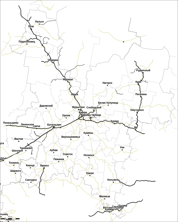
Русский: Обзорная схема железных дорог Кировской области. |
| Date | |
| Source | http://openstreetmap.org |
| Author | openstreetmap contributors |
bounds-set 45.8157036237688,56.0371289931489,54.0788896669336,61.3726037493647
Licensing[edit]
This file is licensed under the Creative Commons Attribution 2.0 Generic license.
- You are free:
- to share – to copy, distribute and transmit the work
- to remix – to adapt the work
- Under the following conditions:
- attribution – You must give appropriate credit, provide a link to the license, and indicate if changes were made. You may do so in any reasonable manner, but not in any way that suggests the licensor endorses you or your use.
| Annotations | This image is annotated: View the annotations at Commons |
File history
Click on a date/time to view the file as it appeared at that time.
| Date/Time | Thumbnail | Dimensions | User | Comment | |
|---|---|---|---|---|---|
| current | 12:18, 22 February 2012 | | 1,504 × 1,874 (297 KB) | Svetlov Artem (talk | contribs) | Населёные пункты больше 4000 чел |
| 08:36, 22 February 2012 |  | 1,504 × 1,874 (273 KB) | Svetlov Artem (talk | contribs) | подбираю размер шрифта | |
| 08:12, 22 February 2012 |  | 1,504 × 1,874 (293 KB) | Svetlov Artem (talk | contribs) | убраны куски демонтированных дорог | |
| 12:23, 21 February 2012 |  | 1,504 × 1,874 (235 KB) | Svetlov Artem (talk | contribs) |
You cannot overwrite this file.
File usage on Commons
The following page uses this file: