File:Old White Horse - geograph.org.uk - 1588770.jpg
Jump to navigation
Jump to search
No higher resolution available.
Old_White_Horse_-_geograph.org.uk_-_1588770.jpg (640 × 480 pixels, file size: 79 KB, MIME type: image/jpeg)
Captions
Captions
Add a one-line explanation of what this file represents
Summary[edit]
| Description |
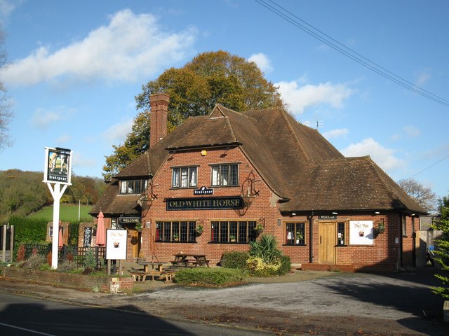
English: The Old White Horse public house, Fair Mile, Henley-on-Thames, Oxfordshire |
| Date | |
| Source | From geograph.org.uk |
| Author | don cload |
| Attribution (required by the license) | don cload / Old White Horse / |
| Camera location | | View this and other nearby images on: OpenStreetMap |
|---|
_heading:0.00&language=en)
| Object location | | View this and other nearby images on: OpenStreetMap |
|---|
_heading:0.00&language=en)
Licensing[edit]

|
This image was taken from the Geograph project collection. See this photograph's page on the Geograph website for the photographer's contact details. The copyright on this image is owned by don cload and is licensed for reuse under the Creative Commons Attribution-ShareAlike 2.0 license.
|
This file is licensed under the Creative Commons Attribution-Share Alike 2.0 Generic license.
Attribution: don cload
- You are free:
- to share – to copy, distribute and transmit the work
- to remix – to adapt the work
- Under the following conditions:
- attribution – You must give appropriate credit, provide a link to the license, and indicate if changes were made. You may do so in any reasonable manner, but not in any way that suggests the licensor endorses you or your use.
- share alike – If you remix, transform, or build upon the material, you must distribute your contributions under the same or compatible license as the original.
File history
Click on a date/time to view the file as it appeared at that time.
| Date/Time | Thumbnail | Dimensions | User | Comment | |
|---|---|---|---|---|---|
| current | 00:29, 4 March 2011 | | 640 × 480 (79 KB) | GeographBot (talk | contribs) | == {{int:filedesc}} == {{Information |description={{en|1=Old White Horse}} |date=2009-11-17 |source=From [http://www.geograph.org.uk/photo/1588770 geograph.org.uk] |author=[http://www.geograph.org.uk/profile/33035 don cload] |permission= |other_versions= |
You cannot overwrite this file.
File usage on Commons
There are no pages that use this file.
File usage on other wikis
The following other wikis use this file:
- Usage on hu.wikipedia.org
Metadata
Categories:
- Files with coordinates missing SDC location of creation (51° N, -1°E)
- 20th-century architecture in Oxfordshire
- 20th-century brick architecture in the United Kingdom
- A4130 road (England)
- Brick buildings in Oxfordshire
- Half hipped with gablet roofs in England
- Pubs in Henley-on-Thames
- Hipped roofs in Oxfordshire
- Pubs in Oxfordshire
- White Horse pubs