File:Old Bailey - 766866.jpg
Jump to navigation
Jump to search
No higher resolution available.
Old_Bailey_-_766866.jpg (640 × 480 pixels, file size: 86 KB, MIME type: image/jpeg)
Captions
Captions
Add a one-line explanation of what this file represents
| Description |
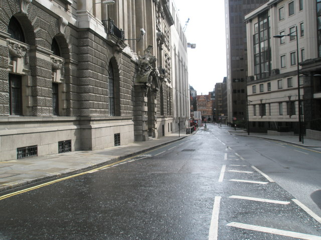
English: The street called Old Bailey in the City of London seen from grid reference TQ31818146 near its junction with Holborn Viaduct / Newgate Street. The building on the left is the Central Criminal Court (colloquially, the Old Bailey). |
||
| Date | |||
| Source | see below | ||
| Author | user:Bashereyre | ||
| Permission (Reusing this file) |
This file is licensed under the Creative Commons Attribution-Share Alike 2.0 Generic license. Attribution: Basher Eyre
|
||
| Other versions |
 |

| Camera location | | View this and other nearby images on: OpenStreetMap |
|---|
_region:GB-ENG_heading:202.00&language=en)
| Object location | | View this and other nearby images on: OpenStreetMap |
|---|
_region:GB-ENG_heading:202.00&language=en)
Original upload log[edit]
The original description page was here. All following user names refer to en.wikipedia.
- 2008-09-03 20:33 Bashereyre 640×480× (88097 bytes) {{Information |Description=Warwick Lane |Source=Geograph-photograph every grid square |Date=13 April 2008|Author= |Permission=Yes |other_versions=Yes }}
File history
Click on a date/time to view the file as it appeared at that time.
| Date/Time | Thumbnail | Dimensions | User | Comment | |
|---|---|---|---|---|---|
| current | 12:15, 3 October 2009 | | 640 × 480 (86 KB) | File Upload Bot (Magnus Manske) (talk | contribs) | {{BotMoveToCommons|en.wikipedia|year={{subst:CURRENTYEAR}}|month={{subst:CURRENTMONTHNAME}}|day={{subst:CURRENTDAY}}}} {{Information |Description={{en|Warwick Lane}} |Source=Transferred from [http://en.wikipedia.org en.wikipedia]; transferred to Commons |
You cannot overwrite this file.
File usage on Commons
The following page uses this file:
- File:Warwick Lane.jpg (file redirect)
File usage on other wikis
The following other wikis use this file:
- Usage on en.wikipedia.org
- Usage on www.wikidata.org