File:Ogres upe - E.Sparāns.jpg
Jump to navigation
Jump to search

Size of this preview: 800 × 449 pixels. Other resolutions: 320 × 180 pixels | 640 × 359 pixels | 1,024 × 575 pixels | 1,280 × 719 pixels | 2,560 × 1,438 pixels | 3,992 × 2,242 pixels.
Original file (3,992 × 2,242 pixels, file size: 6 MB, MIME type: image/jpeg)
Captions
Captions
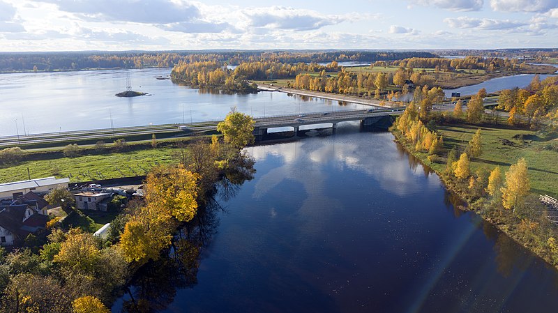
The confluence of the Ogre and Daugava rivers
Summary
[edit]
| Description |
English: The confluence of the Ogre and Daugava rivers |
| Date | |
| Source | Given us by the author |
| Author | Edgars Sparāns |
| Camera location | | View this and other nearby images on: OpenStreetMap |
|---|
Licensing
[edit]
This file is licensed under the Creative Commons Attribution-Share Alike 4.0 International license.
- You are free:
- to share – to copy, distribute and transmit the work
- to remix – to adapt the work
- Under the following conditions:
- attribution – You must give appropriate credit, provide a link to the license, and indicate if changes were made. You may do so in any reasonable manner, but not in any way that suggests the licensor endorses you or your use.
- share alike – If you remix, transform, or build upon the material, you must distribute your contributions under the same or compatible license as the original.
File history
Click on a date/time to view the file as it appeared at that time.
| Date/Time | Thumbnail | Dimensions | User | Comment | |
|---|---|---|---|---|---|
| current | 10:31, 3 April 2020 | | 3,992 × 2,242 (6 MB) | Visitogre (talk | contribs) | Uploaded a work by Edgars Sparāns from Given us by the author with UploadWizard |
You cannot overwrite this file.
File usage on Commons
There are no pages that use this file.
File usage on other wikis
The following other wikis use this file:
- Usage on eo.wikipedia.org
- Usage on fiu-vro.wikipedia.org
- Usage on lv.wikipedia.org
- Usage on no.wikipedia.org
- Usage on sk.wikipedia.org
- Usage on sv.wikipedia.org