File:Oblique map of Southwest Pacific.jpg
Jump to navigation
Jump to search

Size of this preview: 763 × 600 pixels. Other resolutions: 306 × 240 pixels | 611 × 480 pixels | 977 × 768 pixels | 1,280 × 1,006 pixels | 2,560 × 2,012 pixels | 5,043 × 3,963 pixels.
Original file (5,043 × 3,963 pixels, file size: 4.09 MB, MIME type: image/jpeg)
Captions
Captions
Add a one-line explanation of what this file represents
Summary[edit]
| Description |
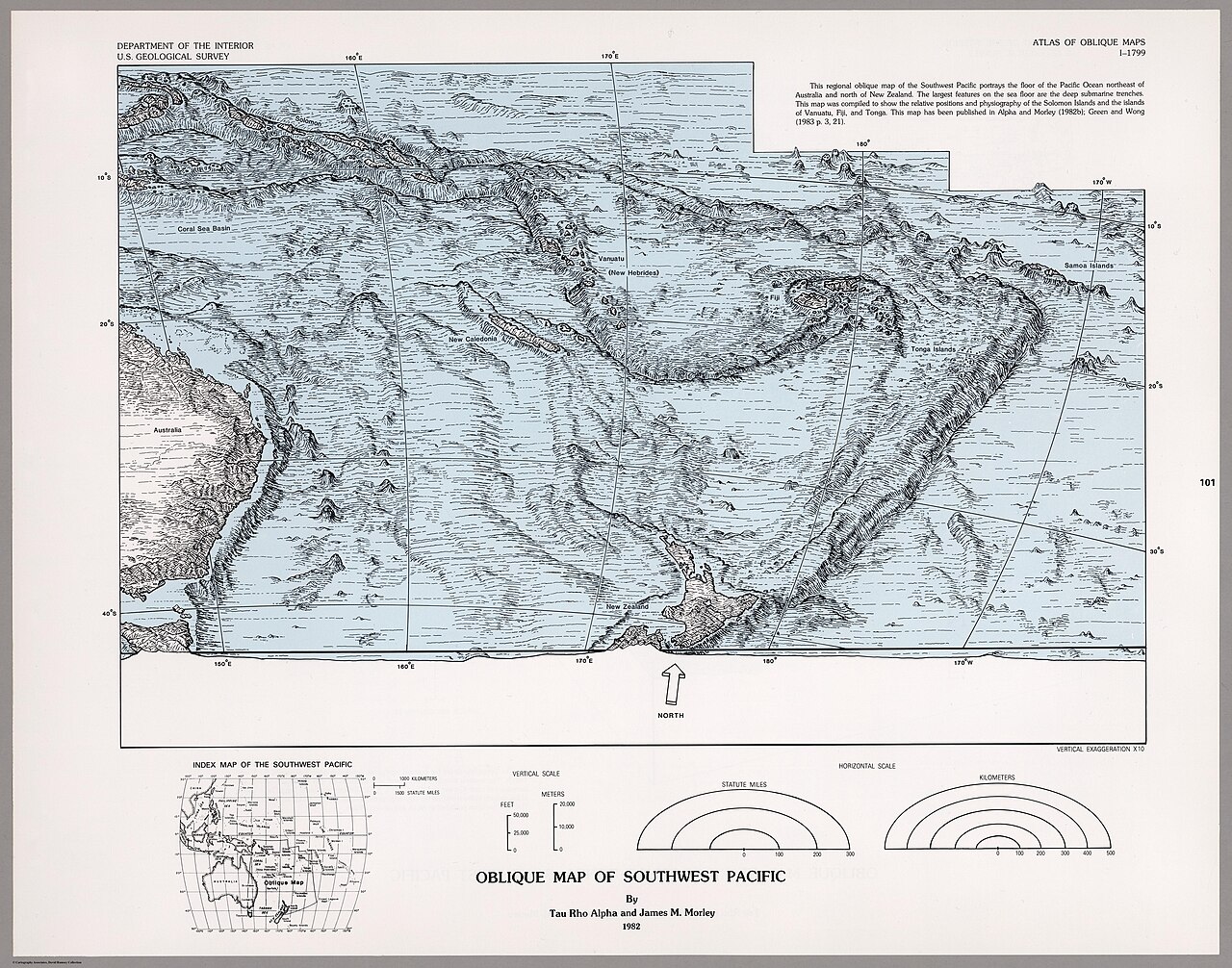
English: This map is a scale-accurate, obliquely viewed map that portray the physiography of Southwest Pacific. From Atlas of Oblique Maps |
| Date | |
| Source | David Rumsey Map Collection, list no 6353.100 |
| Author | United States Geological Survey |
Licensing[edit]
This image is in the public domain in the United States because it only contains materials that originally came from the United States Geological Survey, an agency of the United States Department of the Interior. For more information, see the official USGS copyright policy.
|
File history
Click on a date/time to view the file as it appeared at that time.
| Date/Time | Thumbnail | Dimensions | User | Comment | |
|---|---|---|---|---|---|
| current | 18:54, 27 October 2023 | | 5,043 × 3,963 (4.09 MB) | Babelia (talk | contribs) | Uploaded a work by United States Geological Survey from David Rumsey Map Collection with UploadWizard |
You cannot overwrite this file.
File usage on Commons
There are no pages that use this file.