File:Oberammergau Ludwig-Thoma-Straße 2.jpg
(Redirected from File:Oberammergau Ludwig-Thoma-Straße 2-4.jpg)

Size of this preview: 800 × 532 pixels. Other resolutions: 320 × 213 pixels | 640 × 425 pixels | 1,024 × 680 pixels | 1,280 × 851 pixels | 2,560 × 1,701 pixels | 4,912 × 3,264 pixels.
Original file (4,912 × 3,264 pixels, file size: 5.98 MB, MIME type: image/jpeg)
Captions
Captions
Add a one-line explanation of what this file represents
Summary[edit]
| Description |
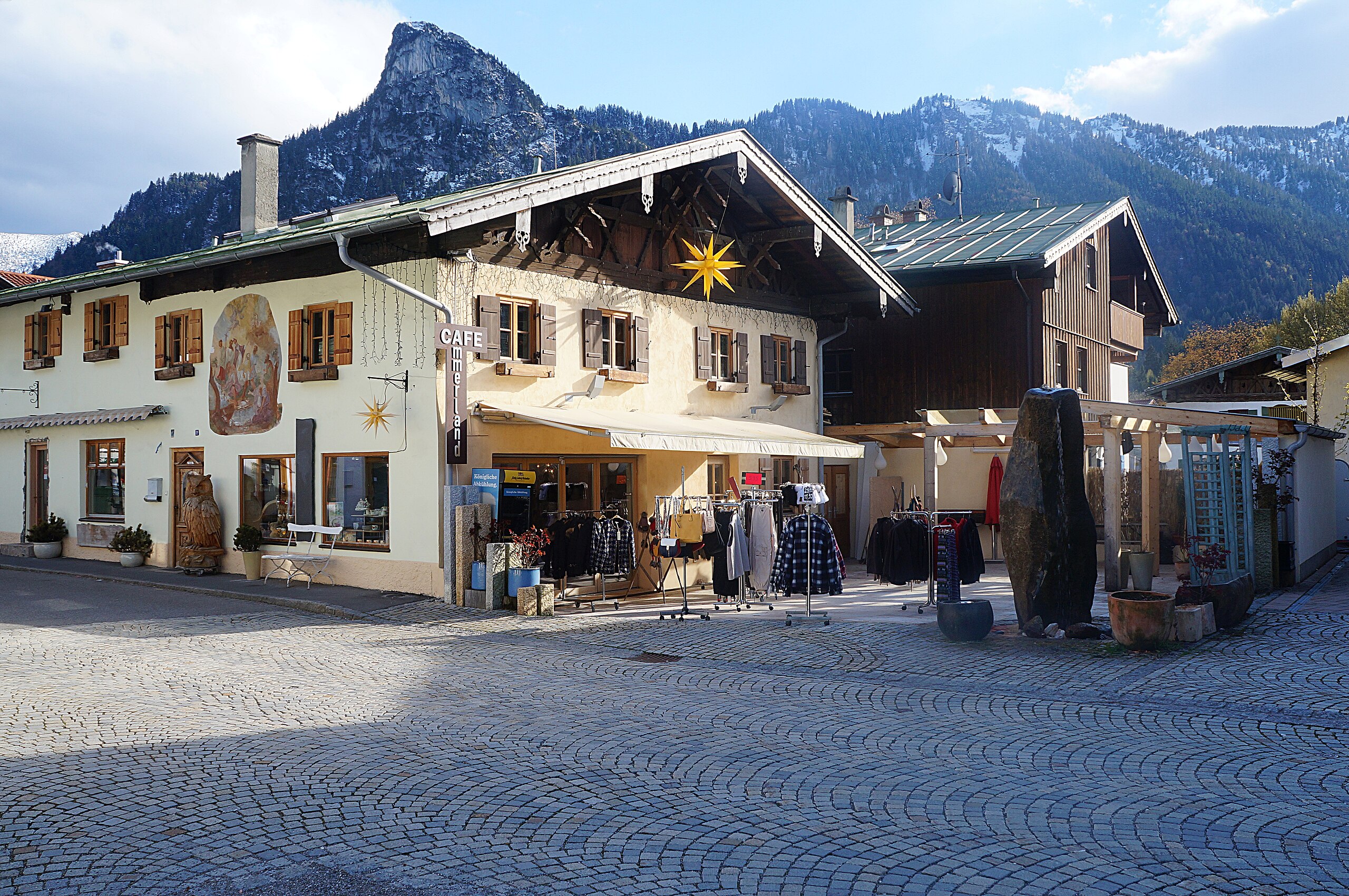
Français : Le village deOberammergau Arrondissement de Garmisch-Partenkirchen District de Haute-Bavière.- Allemagne |
| Date | |
| Source |
Own work This file was uploaded with Commonist. |
| Author | © Pierre André |
| Camera location | | View this and other nearby images on: OpenStreetMap |
|---|
Licensing[edit]
I, the copyright holder of this work, hereby publish it under the following licenses:

|
Permission is granted to copy, distribute and/or modify this document under the terms of the GNU Free Documentation License, Version 1.2 or any later version published by the Free Software Foundation; with no Invariant Sections, no Front-Cover Texts, and no Back-Cover Texts. A copy of the license is included in the section entitled GNU Free Documentation License. |
This file is licensed under the Creative Commons Attribution-Share Alike Attribution-Share Alike 4.0 International, 3.0 Unported, 2.5 Generic, 2.0 Generic and 1.0 Generic license.
- You are free:
- to share – to copy, distribute and transmit the work
- to remix – to adapt the work
- Under the following conditions:
- attribution – You must give appropriate credit, provide a link to the license, and indicate if changes were made. You may do so in any reasonable manner, but not in any way that suggests the licensor endorses you or your use.
- share alike – If you remix, transform, or build upon the material, you must distribute your contributions under the same or compatible license as the original.
You may select the license of your choice.
| Annotations | This image is annotated: View the annotations at Commons |
.jpg)

|
This image has been assessed under the valued image criteria and is considered the most valued image on Commons within the scope: Ludwig-Thoma-Straße 2/4 (Oberammergau) Germany. You can see its nomination here. |
File history
Click on a date/time to view the file as it appeared at that time.
| Date/Time | Thumbnail | Dimensions | User | Comment | |
|---|---|---|---|---|---|
| current | 17:55, 14 December 2016 | | 4,912 × 3,264 (5.98 MB) | Pierre André Leclercq (talk | contribs) | more sharpsess |
| 20:32, 2 May 2016 |  | 4,912 × 3,264 (6.41 MB) | Pierre André Leclercq (talk | contribs) |
You cannot overwrite this file.
File usage on Commons
The following 11 pages use this file:
- User:Pierre André Leclercq/Gallery/Europa /Germany
- User:Pierre André Leclercq/Quality and valued images
- User:Pierre André Leclercq/gallery/2016/1er semestre
- User talk:Pierre André Leclercq/Archive 2
- Commons:Quality images candidates/Archives August 23 2018
- Commons:Quality images candidates/Archives December 23 2016
- Commons:Valued image candidates/Oberammergau Ludwig-Thoma-Straße 2-4.jpg
- File:Oberammergau Buildings (22).JPG (file redirect)
- File:Oberammergau Ludwig-Thoma-Straße 2-4.jpg (file redirect)
- Category:Ludwig-Thoma-Straße 2 (Oberammergau)
.JPG&redirect=no)
File usage on other wikis
The following other wikis use this file:
- Usage on de.wikipedia.org
- Usage on www.wikidata.org