File:Nugaal location map.svg
Jump to navigation
Jump to search

Size of this PNG preview of this SVG file: 636 × 424 pixels. Other resolutions: 320 × 213 pixels | 640 × 427 pixels | 1,024 × 683 pixels | 1,280 × 853 pixels | 2,560 × 1,707 pixels.
Original file (SVG file, nominally 636 × 424 pixels, file size: 47 KB)
Captions
Captions
Add a one-line explanation of what this file represents
Summary[edit]
| Description |
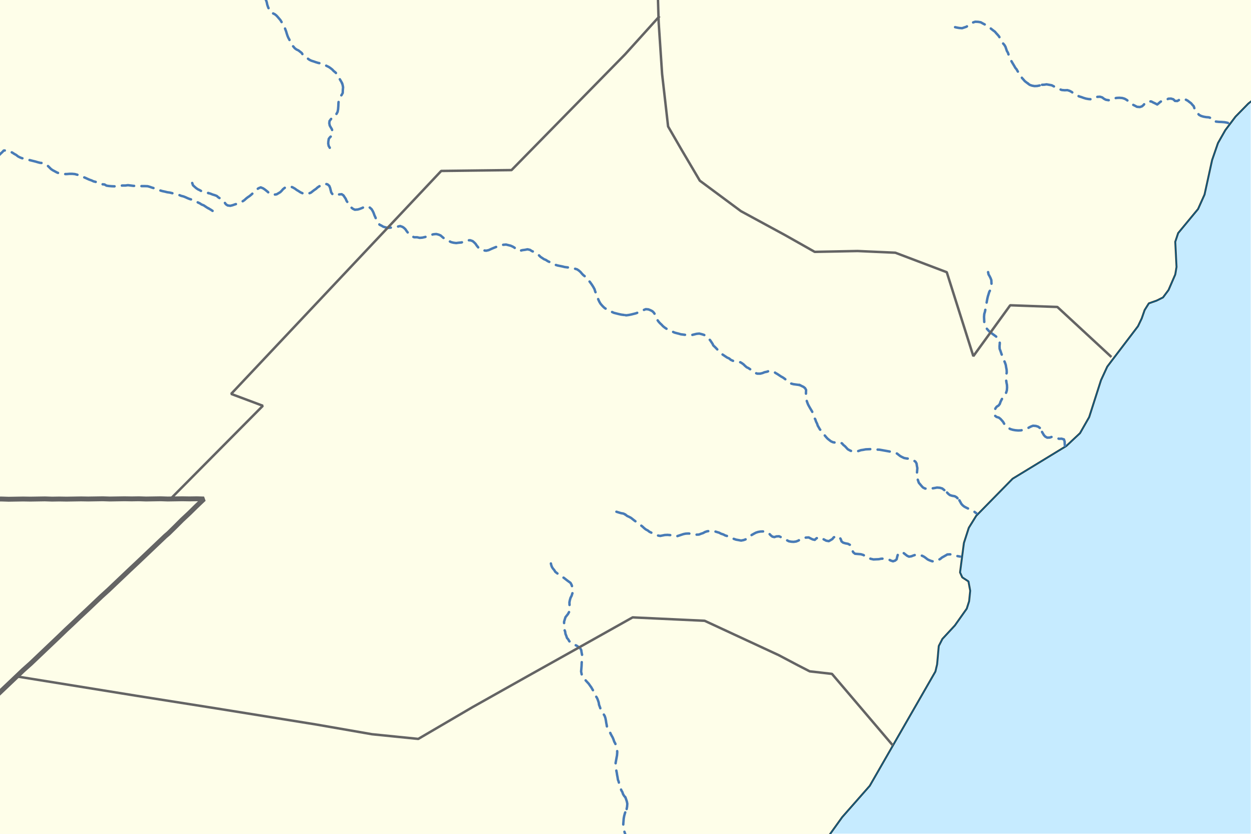
English: Nugaal region in Somalia 日本語: ソマリアのヌガール地域のLocation map用地図
|
| Date | |
| Source | See below |
| Author | See below (Assemblied by User:Freetrashbox) |
Sources[edit]

- Coast line: Made with Natural Earth. Free vector and raster map data @ naturalearthdata.com. / Natural Earth (2021-11-14). Downloads/1:10m Physical Vectors/Coastline ver.5.0.0-pre9. Retrieved on 2022-12-27.
- International border: GSHHG data version 2.3.7 / NOAA (2017-06-15). Shoreline / Coastline Resources. Retrieved on 2022-12-13. / gshhg-shp-2.3.7\WDBII_shp\h\WDBII_border_h_L1.shp
- Intermittent rivers: GSHHG data version 2.3.7 / ibid. / gshhg-shp-2.3.7\WDBII_shp\h\WDBII_river_h_L08.shp
- Regional border of Somaliland: SOMALILAND VULNERABILITY INDEX MAP / Ministry of Planning and National Development of Somaliland. SOMALILAND VULNERABILITY INDEX MAP. Retrieved on 2022-12-13.
- Regional border of Somalia (without Somaliland): WHO (Mar. 2007). Hospitals in Somalia. Retrieved on 2022-12-27.
Design[edit]
- Coast line: R9 G120 B171, 0.3pts.
- Land: R254 G254 B233
- Sea: R198 G235 B255
- International border: R100 G100 B100, 2pts.
- Intermittent rivers: R72 G123 B182, 1pt, dash 5 pts, blank 3pts.
- Regional border of Somalia, Somaliland: R100 G100 B100, 1pt.
Notes[edit]
- The boundaries marked on this map are the borders or region boundaries around this area. Because Somaliland claims the western border of Bari and Nugaal regions as the border between Somaliland and Somalia, there is some dispute as to whether this line is a border or a state line.
Licensing[edit]
This image is in the public domain because it contains materials that originally came from the U.S. National Oceanic and Atmospheric Administration, taken or made as part of an employee's official duties.
|
| This work has been released into the public domain by its author, Natural Earth. This applies worldwide. In some countries this may not be legally possible; if so: Natural Earth grants anyone the right to use this work for any purpose, without any conditions, unless such conditions are required by law.
|
File history
Click on a date/time to view the file as it appeared at that time.
| Date/Time | Thumbnail | Dimensions | User | Comment | |
|---|---|---|---|---|---|
| current | 09:48, 28 December 2022 | | 636 × 424 (47 KB) | Freetrashbox (talk | contribs) | Uploaded a work by Assemblied by User:Freetrashbox from Made with Natural Earth. Free vector and raster map data @ naturalearthdata.com. with UploadWizard |
You cannot overwrite this file.
File usage on Commons
There are no pages that use this file.