File:Norway Troms location map.svg

Original file (SVG file, nominally 714 × 587 pixels, file size: 214 KB)
Captions
Captions
Summary[edit]
| Description |
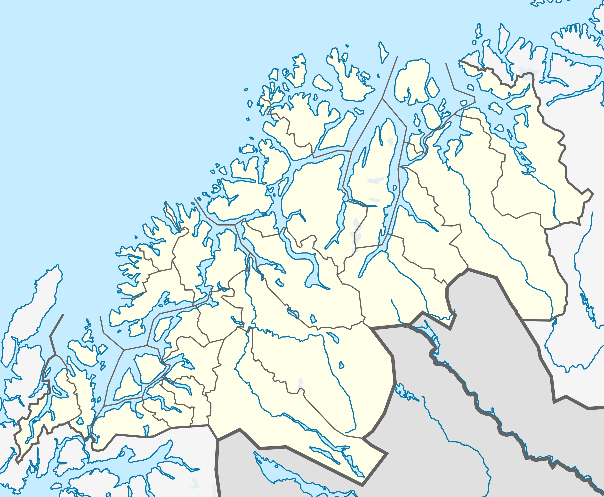
Quadratische Plattkarte, N-S-Streckung 284 %. Geographische Begrenzung der Karte:
Equirectangular projection, N/S stretching 284 %. Geographic limits of the map:
|
|
| Date | ||
| Source |
Own work, using
|
|
| Author | NordNordWest | |
| Permission (Reusing this file) |
This file is licensed under the Creative Commons Attribution-Share Alike 3.0 Germany license.
 This file is licensed under the Creative Commons Attribution-Share Alike 3.0 Germany license.
|


|
This map has been made or improved in the German Kartenwerkstatt (Map Lab). You can propose maps to improve as well.
|
File history
Click on a date/time to view the file as it appeared at that time.
| Date/Time | Thumbnail | Dimensions | User | Comment | |
|---|---|---|---|---|---|
| current | 17:45, 2 January 2013 | | 714 × 587 (214 KB) | Jon Harald Søby (talk | contribs) | deleting border between Harstad and Bjarkøy, as the latter was merged into Harstad |
| 21:39, 24 November 2011 |  | 714 × 587 (208 KB) | NordNordWest (talk | contribs) | =={{int:filedesc}}== {{Information |Description= {{de|Positionskarte von Troms, Norwegen}} Quadratische Plattkarte, N-S-Streckung 284 %. Geographische Begrenzung der Karte: * N: 70.5° N * S: 68.3° N * W: 15.4° O * O: 23 |
You cannot overwrite this file.
File usage on Commons
The following page uses this file:
File usage on other wikis
The following other wikis use this file:
- Usage on ar.wikipedia.org
- Usage on ast.wikipedia.org
- Usage on azb.wikipedia.org
- Usage on ba.wikipedia.org
- Usage on bg.wikipedia.org
- Usage on ceb.wikipedia.org
- Usage on cs.wikipedia.org
- Usage on da.wikipedia.org
- Usage on de.wikipedia.org
- Usage on en.wikipedia.org
- Bardufoss
- Fauskevåg
- Burfjord
- Hinnøya
- Senja
- Borkenes
- Finnsnes
- Halti
- Sydspissen detention camp
- Stonglandseidet
- Vangsvik
- Sandstrand, Troms
- Tromsdalen
- Tjeldsundet
- Salangsdalen
- Tromsdalstinden
- Tromsdalen detention camp
- Laukhella
- Altevatnet
- Skjold (garrison)
- Kvaløya (Tromsø)
- Skibotn
- Kvaløysletta
- Njunis
- Ramsund, Norway
- Storsteinnes
- Nordkjosbotn
View more global usage of this file.