File:Northern Europe 10.17239E 63.58242N center.png
Jump to navigation
Jump to search
Size of this preview: 800 × 599 pixels. Other resolutions: 320 × 240 pixels | 640 × 479 pixels | 1,024 × 766 pixels | 1,280 × 958 pixels.
Original file (1,280 × 958 pixels, file size: 1.83 MB, MIME type: image/png)
Captions
Captions
Add a one-line explanation of what this file represents
| Description |
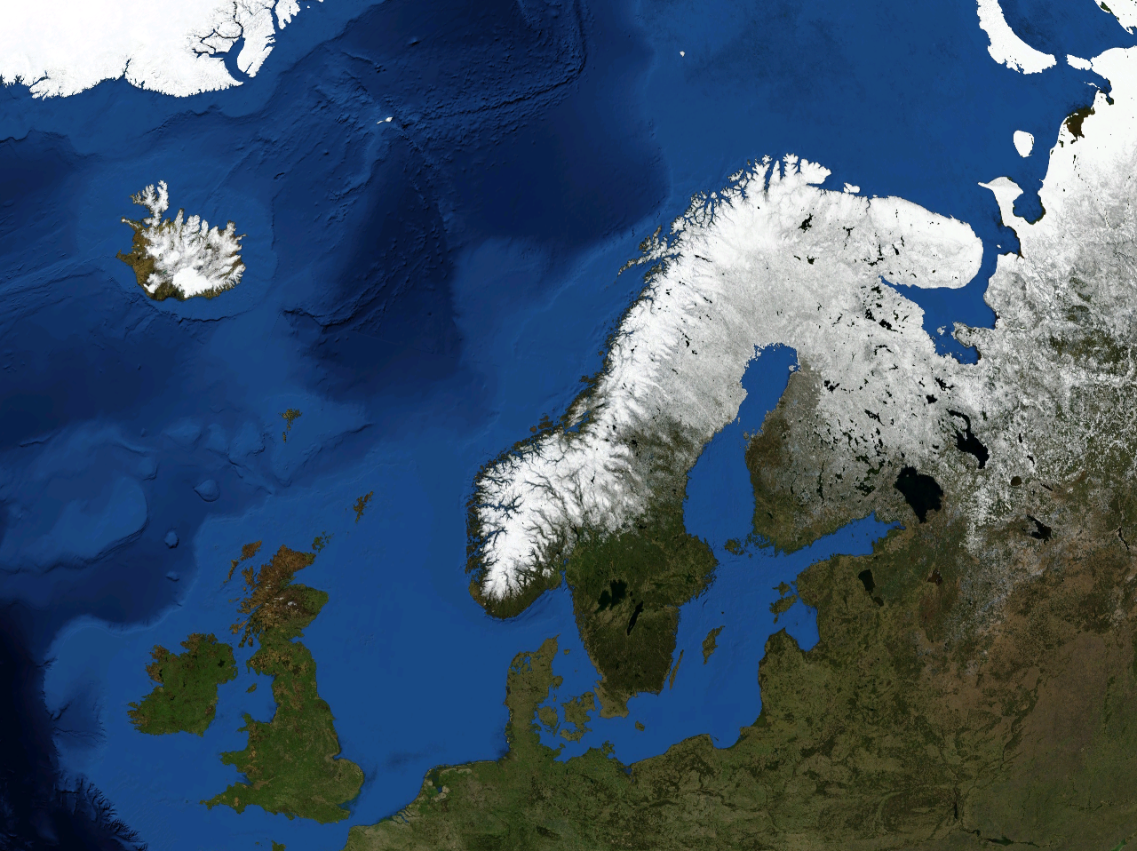
English: Satellite imagery of Northern Europe.
Norsk nynorsk: Satellittbilete av Nord-Europa |
| Source | Taken from NASA WorldWind |
| Author | NASA Landsat imagery |
| This image is in the public domain because it is a screenshot from NASA’s globe software World Wind using a public domain layer, such as Blue Marble, MODIS, Landsat, SRTM, USGS or GLOBE.
|
 |
File history
Click on a date/time to view the file as it appeared at that time.
| Date/Time | Thumbnail | Dimensions | User | Comment | |
|---|---|---|---|---|---|
| current | 00:06, 3 April 2008 | | 1,280 × 958 (1.83 MB) | Ranveig (talk | contribs) | Version without compass. |
| 00:05, 3 April 2008 |  | 1,280 × 958 (1.83 MB) | Ranveig (talk | contribs) | {{Information |Description= {{en|Satellite imagery of Northern Europe.}} {{nn|Satellittbilete av Nord-Europa}} |Source=Taken from NASA WorldWind |Date= |Author=NASA Landsat imagery |Permission= |other_versions= }} {{PD-WorldWind}} [[category:satellite pi |
You cannot overwrite this file.
File usage on Commons
There are no pages that use this file.
File usage on other wikis
The following other wikis use this file:
- Usage on da.wikipedia.org
- Usage on da.wikibooks.org
- Usage on nn.wikipedia.org
- Usage on sc.wikipedia.org