File:North America second level political division.svg
Jump to navigation
Jump to search

Size of this PNG preview of this SVG file: 512 × 596 pixels. Other resolutions: 206 × 240 pixels | 412 × 480 pixels | 660 × 768 pixels | 880 × 1,024 pixels | 1,759 × 2,048 pixels.
Original file (SVG file, nominally 512 × 596 pixels, file size: 128 KB)
Captions
Captions
Add a one-line explanation of what this file represents
Summary[edit]
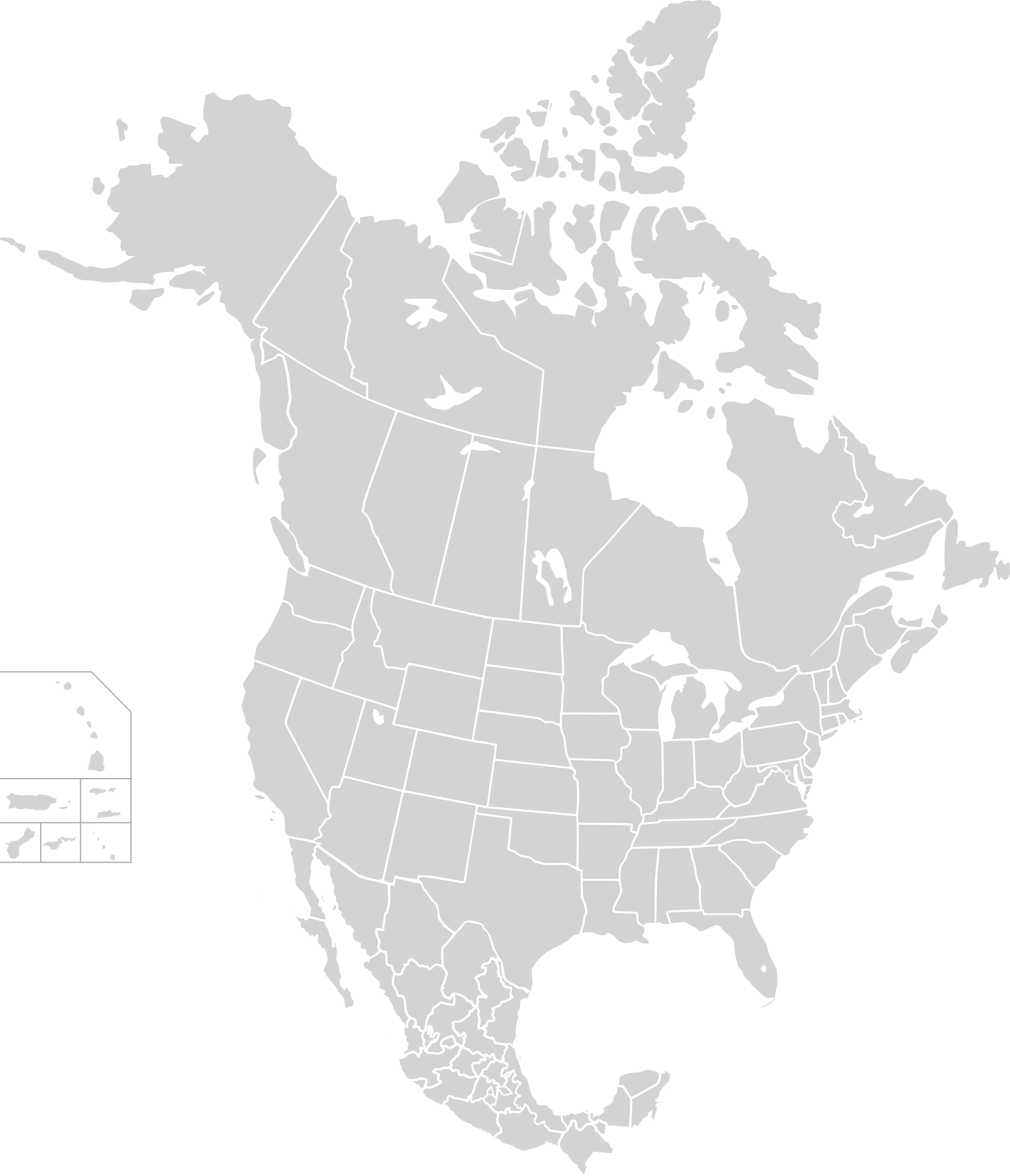
| Description | Map of North America and its second-level political divisions. Canadian provinces, US and Mexican states. Canada, Mexico, United States. |
| Date | |
| Source | Canada and US map by Alan Rockefeller. Mexico map by Alex Covarrubias. |
| Author | AlexCovarrubias |
Licensing[edit]
| This work has been released into the public domain by its author, AlexCovarrubias at English Wikipedia. This applies worldwide. In some countries this may not be legally possible; if so: AlexCovarrubias grants anyone the right to use this work for any purpose, without any conditions, unless such conditions are required by law. |
File history
Click on a date/time to view the file as it appeared at that time.
| Date/Time | Thumbnail | Dimensions | User | Comment | |
|---|---|---|---|---|---|
| current | 23:10, 1 June 2019 | | 512 × 596 (128 KB) | Fluffy89502 (talk | contribs) | added territories, made DC visible, adjusted mexican borders |
| 07:37, 7 October 2007 |  | 2,253 × 1,992 (341 KB) | AlexCovarrubias (talk | contribs) | {{Information |Description=Map of North America and its second-level political divisions. Canadian provinces, US and Mexican states. Canada, Mexico, United States. |Source=Canada and US map by Alan Rockefeller. Mexico map by Alex Covarrubias. |Date= 7 Oct |
You cannot overwrite this file.
File usage on Commons
There are no pages that use this file.
File usage on other wikis
The following other wikis use this file:
- Usage on en.wikipedia.org