File:Normandy Flag Map.svg
Jump to navigation
Jump to search

Size of this PNG preview of this SVG file: 585 × 371 pixels. Other resolutions: 320 × 203 pixels | 640 × 406 pixels | 1,024 × 649 pixels | 1,280 × 812 pixels | 2,560 × 1,624 pixels.
Original file (SVG file, nominally 585 × 371 pixels, file size: 14 KB)
Captions
Captions
Add a one-line explanation of what this file represents
| Description |
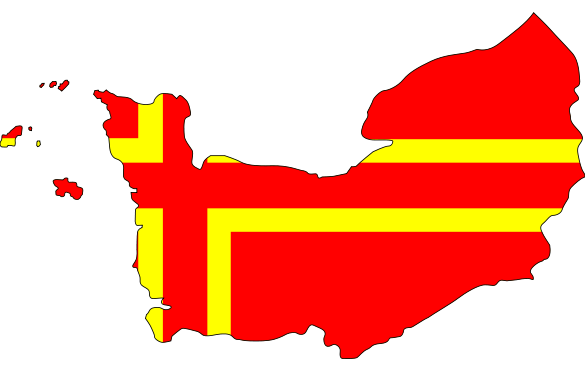
English: Map showing Normandy with the Normandy flag. |
||||||||
| Date | |||||||||
| Source |
|
||||||||
| Author | Lokal_Profil | ||||||||
| Permission (Reusing this file) |
License is the same as the most restrictive of the source images
|

File history
Click on a date/time to view the file as it appeared at that time.
| Date/Time | Thumbnail | Dimensions | User | Comment | |
|---|---|---|---|---|---|
| current | 22:23, 27 January 2008 | | 585 × 371 (14 KB) | Lokal Profil (talk | contribs) | New version including chanel islands |
| 13:44, 27 January 2008 |  | 529 × 373 (11 KB) | Lokal Profil (talk | contribs) | {{Information |Description={{en|Map showing Normandy with the Normandy flag.}} |Source=*Map from Normandie.svg by FinnWikiNo *Flag from Normandy flag large.svg by [[:User:and |
You cannot overwrite this file.
File usage on Commons
The following 2 pages use this file:
File usage on other wikis
The following other wikis use this file:
- Usage on fr.wikipedia.org
- Usage on sv.wikipedia.org