File:Niue location map.svg
Jump to navigation
Jump to search

Size of this PNG preview of this SVG file: 535 × 599 pixels. Other resolutions: 214 × 240 pixels | 428 × 480 pixels | 685 × 768 pixels | 914 × 1,024 pixels | 1,828 × 2,048 pixels | 690 × 773 pixels.
Original file (SVG file, nominally 690 × 773 pixels, file size: 71 KB)
Captions
Captions
Add a one-line explanation of what this file represents
Summary[edit]
| Description |
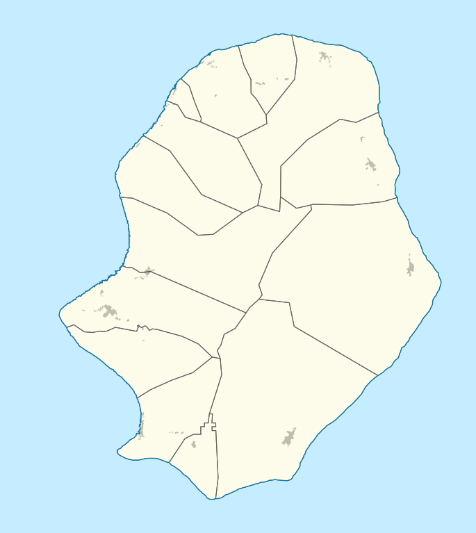
Deutsch: Positionskarte von Niue. Geographische Begrenzungen der Karte:
English: Location map of Niue. Geographic limits of the map:
|
| Date | |
| Source |
Own work, using
|
| Author |
Graphic made by Carport |
Licensing[edit]
This file is licensed under the Creative Commons Attribution-Share Alike 2.0 Generic license.
- You are free:
- to share – to copy, distribute and transmit the work
- to remix – to adapt the work
- Under the following conditions:
- attribution – You must give appropriate credit, provide a link to the license, and indicate if changes were made. You may do so in any reasonable manner, but not in any way that suggests the licensor endorses you or your use.
- share alike – If you remix, transform, or build upon the material, you must distribute your contributions under the same or compatible license as the original.
File history
Click on a date/time to view the file as it appeared at that time.
| Date/Time | Thumbnail | Dimensions | User | Comment | |
|---|---|---|---|---|---|
| current | 07:52, 15 October 2020 | | 690 × 773 (71 KB) | TUBS (talk | contribs) | Splitted in Alfofi Nort and South + populated areas |
| 12:24, 2 July 2010 |  | 863 × 966 (41 KB) | Carport (talk | contribs) | border fixes | |
| 20:27, 23 November 2009 |  | 863 × 966 (41 KB) | Carport (talk | contribs) | {{Information |Description={{de|1=Positionskarte von {{w|Niue|3=de}}. Geographische Begrenzungen der Karte: * N: 18.938° S * S: 19.168° S * W: 169.975° W * E: 169.758° W}} {{en|1=Location map of {{w|Niue}}. Geographic limits of the map: * N: 18.938� |
You cannot overwrite this file.
File usage on Commons
The following 19 pages use this file:
- Niue
- File:Alofi North in Niue.svg
- File:Alofi South in Niue.svg
- File:Alofi in Niue.svg
- File:Avatele in Niue.svg
- File:Hakupu in Niue.svg
- File:Hikutavake in Niue.svg
- File:Lakepa in Niue.svg
- File:Liku in Niue.svg
- File:Makefu in Niue.svg
- File:Motu in Niue.svg
- File:Mutalau in Niue.svg
- File:Namukulu in Niue.svg
- File:Tafiti in Niue.svg
- File:Tamakautoga in Niue.svg
- File:Toi in Niue.svg
- File:Tuapa in Niue.svg
- File:Vaiea in Niue.svg
- Category:Niue
File usage on other wikis
The following other wikis use this file:
- Usage on af.wikipedia.org
- Usage on an.wikipedia.org
- Usage on ast.wikipedia.org
- Usage on az.wikipedia.org
- Usage on ba.wikipedia.org
- Usage on be.wikipedia.org
- Usage on bg.wikipedia.org
- Usage on bn.wikipedia.org
- Usage on ceb.wikipedia.org
- Plantilya:Location map Niue
- Savage Island
- Blow Hole Point
- Tipa
- Tomb Point
- Niue (pagklaro)
- Matapa Chasm
- Alofi
- Tuapa
- Tomb Point (punta sa Niwe)
- Tipa (punta)
- Gumagamit:Lsjbot/Duplicates/Niue
- Matapa Chasm (lugut)
- Hakupu
- Avatele Bay
- Avatele
- Alofi Bay
- Alofi (ulohang dakbayan)
- Alofi / Niue
- Matapa Chasm (walog)
- Tautu Beach
- Avatele Beach
- Hio Beach
- Huvalu Forest Conservation Area
- Usage on cs.wikipedia.org
- Usage on da.wikipedia.org
- Usage on de.wikipedia.org
View more global usage of this file.