File:Ningbo 121.32048E 29.71565N.png
Jump to navigation
Jump to search
Size of this preview: 473 × 599 pixels. Other resolutions: 189 × 240 pixels | 578 × 732 pixels.
Original file (578 × 732 pixels, file size: 1.14 MB, MIME type: image/png)
Captions
Captions
Add a one-line explanation of what this file represents
| Description |
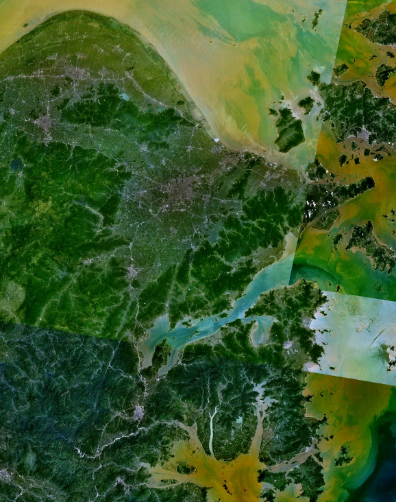
English: Satellite view of Ningbo, Zhejiang, China from NASA WorldWind software. |
| Source | Worldwind |
| Author | NASA World Wind |
| Permission (Reusing this file) |
PD |
Satellite view of Ningbo, China from NASA WorldWind software.
| This image is in the public domain because it is a screenshot from NASA’s globe software World Wind using a public domain layer, such as Blue Marble, MODIS, Landsat, SRTM, USGS or GLOBE.
|
 |
File history
Click on a date/time to view the file as it appeared at that time.
| Date/Time | Thumbnail | Dimensions | User | Comment | |
|---|---|---|---|---|---|
| current | 01:39, 22 February 2010 | | 578 × 732 (1.14 MB) | Siyuwj (talk | contribs) | Satellite view of Ningbo, China from NASA WorldWind Software. {{PD-WorldWind}} Category:Ningbo |
You cannot overwrite this file.
File usage on Commons
The following 7 pages use this file:
File usage on other wikis
The following other wikis use this file: