File:New Zealand (North Isle) SHOURAKA GULF and the mouth of the RIVER THAMES From the surveys of Captain James Cook - HMS Endeavour 1769 Mr James Downie - HMSS Coromandel 1820 Le Capitaine D'Urville - HFMS L'Astrolabe 1827 Mr RMG L9603.jpg
Jump to navigation
Jump to search
Size of this preview: 459 × 599 pixels. Other resolutions: 184 × 240 pixels | 368 × 480 pixels | 981 × 1,280 pixels.
Original file (981 × 1,280 pixels, file size: 1.09 MB, MIME type: image/jpeg)
Captions
Captions
Add a one-line explanation of what this file represents
Summary[edit]
_SHOURAKA_GULF_and_the_mouth_of_the_RIVER_THAMES_From_the_surveys_of_Captain_James_Cook_-_HMS_Endeavour_1769_Mr_James_Downie_-_HMSS_Coromandel_1820_Le_Capitaine_D%27Urville_-_HFMS_L%27Astrolabe_1827_Mr_RMG_L9603.jpg&action=edit§ion=1)
| Author |
Captain James Cook; HM Admiralty; J & C Walker; Jules Sebastian Cesar Dumont D'Urville; Mr James Downie |
| Description |
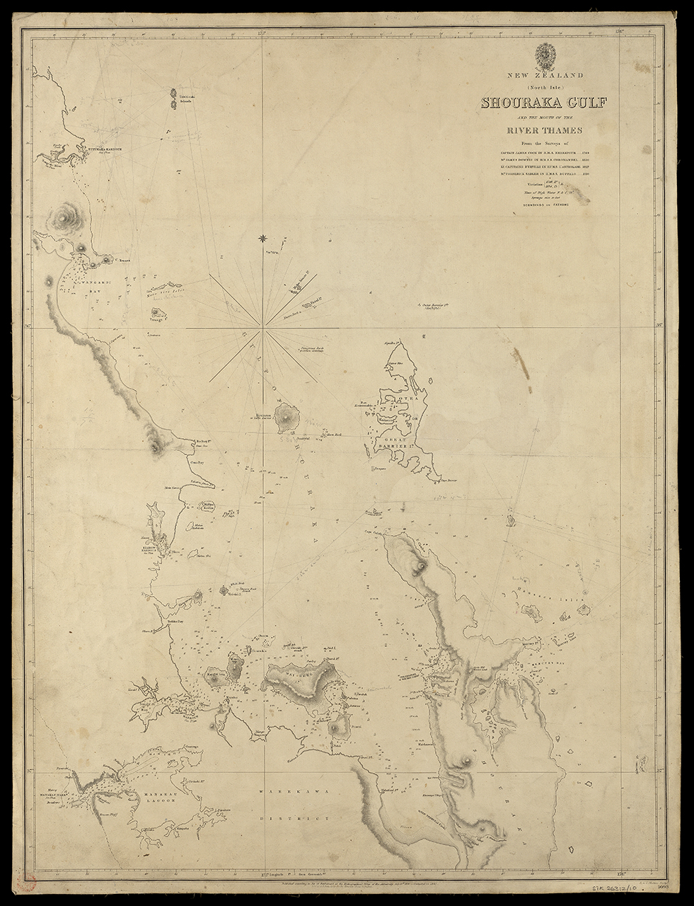
English: New Zealand (North Isle) SHOURAKA GULF and the mouth of the RIVER THAMES From the surveys of Captain James Cook.. HMS Endeavour 1769 Mr James Downie.. HMSS Coromandel 1820 Le Capitaine D'Urville.. HFMS L'Astrolabe 1827 Mr Fredrick Sadler.. HMSS Buffalo 1834Scale: circa 1:350,000. Linen backed chart. MS bearings. New Zealand (North Isle) Shouraka Gulf and the mouth of the River Thames from the surveys of Captain James Cook |
| Date | 1845; 1836 |
| Dimensions | Sheet: 48.5 cm x 64 cm |
| Notes | This record was added as part of the 2009-2010 pre 1900 charts transcription project. |
| Source/Photographer | http://collections.rmg.co.uk/collections/objects/550506 |
| Permission (Reusing this file) |
The original artefact or artwork has been assessed as public domain by age, and faithful reproductions of the two dimensional work are also public domain. No permission is required for reuse for any purpose. The text of this image record has been derived from the Royal Museums Greenwich catalogue and image metadata. Individual data and facts such as date, author and title are not copyrightable, but reuse of longer descriptive text from the catalogue may not be considered fair use. Reuse of the text must be attributed to the "National Maritime Museum, Greenwich, London" and a Creative Commons CC-BY-NC-SA-3.0 license may apply if not rewritten. Refer to Royal Museums Greenwich copyright. |
| Identifier | Acquisition Number: NA.60-4 Acquisition Number: NA1960-4 Admiralty Chart Number: 1093 GGCC: 263:2 id number: STK263:2/10 |
| Collection | Charts and maps |
Licensing[edit]
_SHOURAKA_GULF_and_the_mouth_of_the_RIVER_THAMES_From_the_surveys_of_Captain_James_Cook_-_HMS_Endeavour_1769_Mr_James_Downie_-_HMSS_Coromandel_1820_Le_Capitaine_D%27Urville_-_HFMS_L%27Astrolabe_1827_Mr_RMG_L9603.jpg&action=edit§ion=2)
|
This is a faithful photographic reproduction of a two-dimensional, public domain work of art. The work of art itself is in the public domain for the following reason:
The official position taken by the Wikimedia Foundation is that "faithful reproductions of two-dimensional public domain works of art are public domain".
This photographic reproduction is therefore also considered to be in the public domain in the United States. In other jurisdictions, re-use of this content may be restricted; see Reuse of PD-Art photographs for details. | ||||
File history
Click on a date/time to view the file as it appeared at that time.
| Date/Time | Thumbnail | Dimensions | User | Comment | |
|---|---|---|---|---|---|
| current | 22:48, 1 September 2017 | | 981 × 1,280 (1.09 MB) | Fæ (talk | contribs) | Royal Museums Greenwich Charts and maps, http://collections.rmg.co.uk/collections/objects/550506 |
You cannot overwrite this file.
File usage on Commons
The following page uses this file:
_SHOURAKA_GULF_and_the_mouth_of_the_RIVER_THAMES_From_the_surveys_of_Captain_James_Cook_-_HMS_Endeavour_1769_Mr_James_Downie_-_HMSS_Coromandel_1820_Le_Capitaine_D%27Urville_-_HFMS_L%27Astrolabe_1827_Mr_RMG_L9603.jpg)
_SHOURAKA_GULF_and_the_mouth_of_the_RIVER_THAMES_From_the_surveys_of_Captain_James_Cook_-_HMS_Endeavour_1769_Mr_James_Downie_-_HMSS_Coromandel_1820_Le_Capitaine_D%27Urville_-_HFMS_L%27Astrolabe_1827_Mr_RMG_L9603.jpg&oldid=408758438)