File:New Orleans from the Air - MRGO Sept 2019.jpg
Jump to navigation
Jump to search
Size of this preview: 800 × 600 pixels. Other resolutions: 320 × 240 pixels | 640 × 480 pixels | 1,024 × 768 pixels | 1,280 × 960 pixels | 2,560 × 1,920 pixels | 4,032 × 3,024 pixels.
Original file (4,032 × 3,024 pixels, file size: 4.24 MB, MIME type: image/jpeg)
Captions
Captions
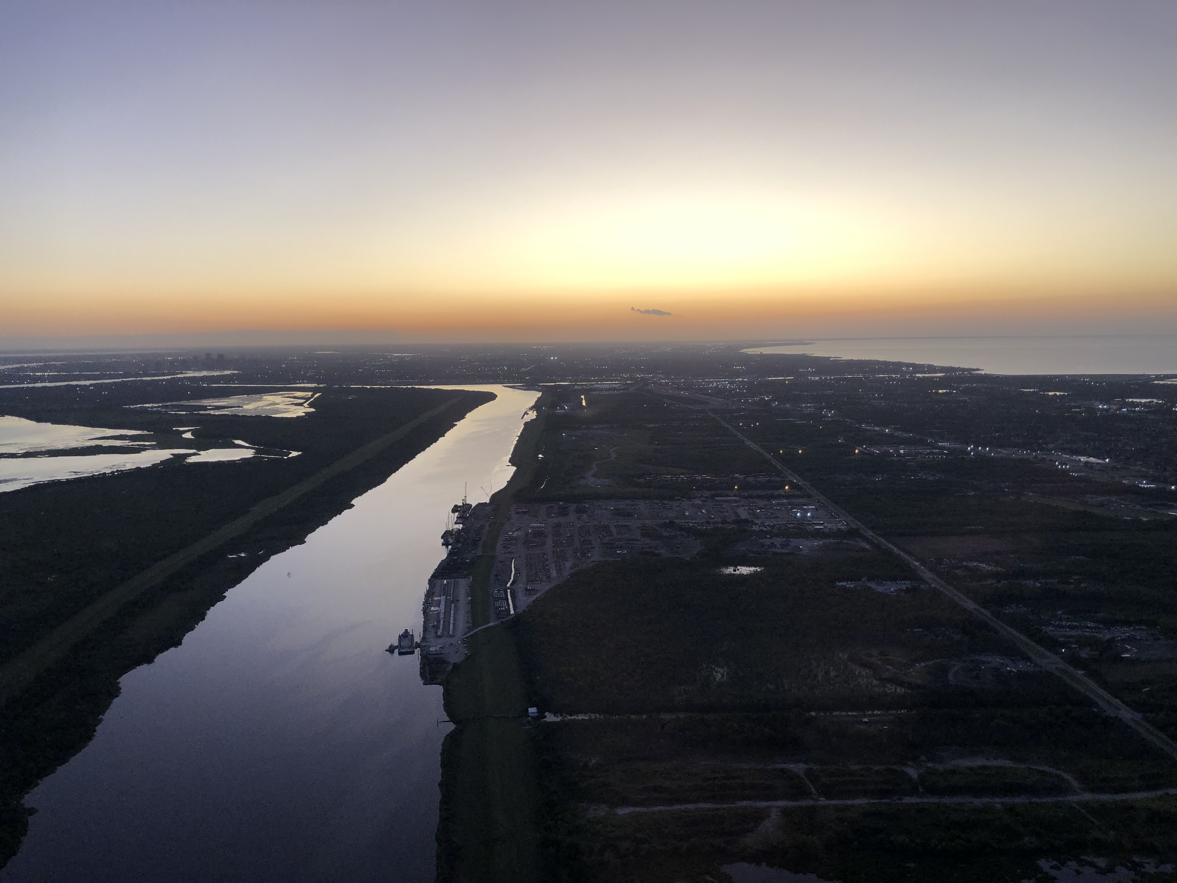
MRGO, Eastern New Orleans
Summary[edit]
| Description |
English: MRGO canal, Eastern New Orleans, from the air, looking towards the Industrial Canal and the City. Lake Pontchartrain at upper left. |
| Date | |
| Source | https://www.flickr.com/photos/drgbb/48785782102/ |
| Author | George Bannister |
| Camera location | | View this and other nearby images on: OpenStreetMap |
|---|
Licensing[edit]
This file is licensed under the Creative Commons Attribution 2.0 Generic license.
- You are free:
- to share – to copy, distribute and transmit the work
- to remix – to adapt the work
- Under the following conditions:
- attribution – You must give appropriate credit, provide a link to the license, and indicate if changes were made. You may do so in any reasonable manner, but not in any way that suggests the licensor endorses you or your use.
| This image was originally posted to Flickr by DrGBB at https://flickr.com/photos/29968788@N00/48785782102 (archive). It was reviewed on 26 September 2019 by FlickreviewR 2 and was confirmed to be licensed under the terms of the cc-by-2.0. |
File history
Click on a date/time to view the file as it appeared at that time.
| Date/Time | Thumbnail | Dimensions | User | Comment | |
|---|---|---|---|---|---|
| current | 19:01, 26 September 2019 | | 4,032 × 3,024 (4.24 MB) | Infrogmation (talk | contribs) | User created page with UploadWizard |
You cannot overwrite this file.
File usage on Commons
There are no pages that use this file.
File usage on other wikis
The following other wikis use this file:
- Usage on en.wikipedia.org