File:Nearctic-Ecozone Western Canada.svg
Jump to navigation
Jump to search

Size of this PNG preview of this SVG file: 792 × 586 pixels. Other resolutions: 320 × 237 pixels | 640 × 474 pixels | 1,024 × 758 pixels | 1,280 × 947 pixels | 2,560 × 1,894 pixels.
Original file (SVG file, nominally 792 × 586 pixels, file size: 46 KB)
Captions
Captions
Add a one-line explanation of what this file represents
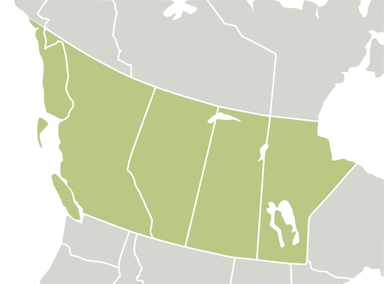
| Description | Extracted from map Nearctic ecozone to highlight Western Canada as described by Plant Taxonomic Database Standards No. 2 [1] | ||||||||
| Date | |||||||||
| Source | Selected from Ecozones and File:North America second level political division 2 and Greenland.svgFile:BlankMap-World6, compact.svg by several people | ||||||||
| Author | carol | ||||||||
| Permission (Reusing this file) |
|
||||||||
| SVG development |

File history
Click on a date/time to view the file as it appeared at that time.
| Date/Time | Thumbnail | Dimensions | User | Comment | |
|---|---|---|---|---|---|
| current | 08:53, 26 July 2008 | | 792 × 586 (46 KB) | CarolSpears (talk | contribs) | Minnesota returned |
| 08:51, 26 July 2008 |  | 792 × 586 (45 KB) | CarolSpears (talk | contribs) | the one stroked border was removed | |
| 07:11, 26 July 2008 |  | 792 × 586 (46 KB) | CarolSpears (talk | contribs) | {{Information |Description=Extracted from map Nearctic ecozone to highlight Western Canada as described by Plant Taxonomic Database Standards No. 2 [http://www.tdwg.org/TDWG_geo2.pdf] |Source=Selected from [[ |
You cannot overwrite this file.
File usage on Commons
The following page uses this file: