File:Nagasaki géolocalisation relief.svg
Jump to navigation
Jump to search

Size of this PNG preview of this SVG file: 385 × 599 pixels. Other resolutions: 154 × 240 pixels | 308 × 480 pixels | 493 × 768 pixels | 658 × 1,024 pixels | 1,316 × 2,048 pixels | 592 × 921 pixels.
Original file (SVG file, nominally 592 × 921 pixels, file size: 3.39 MB)
Captions
Captions
Add a one-line explanation of what this file represents
Summary[edit]
| Description |
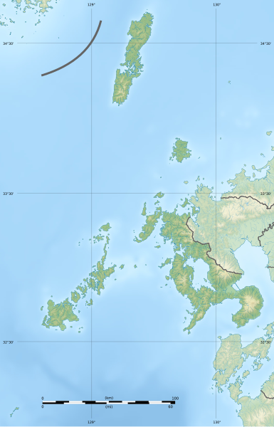
Français : Carte physique vierge de la préfecture de Nagasaki.
English: Blank physical map of the Nagasaki prefecture. |
| Date | |
| Source |
Own work Sources of data :
|
| Author | Flappiefh |
| Other versions |
|

Licensing[edit]
I, the copyright holder of this work, hereby publish it under the following license:
This file is licensed under the Creative Commons Attribution-Share Alike 4.0 International license.
- You are free:
- to share – to copy, distribute and transmit the work
- to remix – to adapt the work
- Under the following conditions:
- attribution – You must give appropriate credit, provide a link to the license, and indicate if changes were made. You may do so in any reasonable manner, but not in any way that suggests the licensor endorses you or your use.
- share alike – If you remix, transform, or build upon the material, you must distribute your contributions under the same or compatible license as the original.
File history
Click on a date/time to view the file as it appeared at that time.
| Date/Time | Thumbnail | Dimensions | User | Comment | |
|---|---|---|---|---|---|
| current | 17:11, 24 October 2016 | | 592 × 921 (3.39 MB) | Flappiefh (talk | contribs) |
You cannot overwrite this file.
File usage on Commons
The following 21 pages use this file:
- User:Flappiefh/gallery
- File:Nagasaki géolocalisation.svg
- Category:Births in Nagasaki prefecture
- Category:Castles in Nagasaki prefecture
- Category:Dams in Nagasaki prefecture
- Category:Deaths in Nagasaki prefecture
- Category:Education in Nagasaki prefecture
- Category:Hospitals in Nagasaki prefecture
- Category:Lighthouses in Nagasaki prefecture
- Category:Maps of Nagasaki prefecture
- Category:Michinoeki in Nagasaki prefecture
- Category:Mountains of Nagasaki prefecture
- Category:Nagasaki prefecture
- Category:People of Nagasaki prefecture
- Category:Power plants in Nagasaki prefecture
- Category:Rail transport in Nagasaki prefecture
- Category:Rivers of Nagasaki prefecture
- Category:Roads in Nagasaki prefecture
- Category:Towns in Nagasaki prefecture
- Category:Transport in Nagasaki prefecture
- Category:Visitor attractions in Nagasaki prefecture
File usage on other wikis
The following other wikis use this file:
- Usage on ce.wikipedia.org
- Usage on de.wikipedia.org
- Tsushima (Insel)
- Gotō-Inseln
- Unzen (Vulkan)
- Shimabara-Halbinsel
- Iki (Insel)
- Ōmura-Bucht
- Eboshi-dake (Sasebo, Nagasaki)
- Danjo-guntō
- Burg Shimabara
- Burg Hirado
- Burg Fukue
- Saikai-Nationalpark
- Unzen-Amakusa-Nationalpark
- Mishima (Nagasaki)
- Vorlage:Positionskarte Japan Präfektur Nagasaki
- Nakadōri-jima
- Fukue-jima
- Wakamatsu-jima
- Hisaka-jima
- Narushima (Nagasaki)
- Usage on en.wikipedia.org
- Usage on eo.wikipedia.org
- Usage on fa.wikipedia.org
- Usage on frr.wikipedia.org
- Usage on fr.wikipedia.org
View more global usage of this file.