File:NWBritish Indian Empire1909.jpg
Jump to navigation
Jump to search

Size of this preview: 800 × 543 pixels. Other resolutions: 320 × 217 pixels | 640 × 434 pixels | 1,024 × 694 pixels | 1,327 × 900 pixels.
Original file (1,327 × 900 pixels, file size: 267 KB, MIME type: image/jpeg)
Captions
Captions
Add a one-line explanation of what this file represents
Summary
[edit]
| Description |
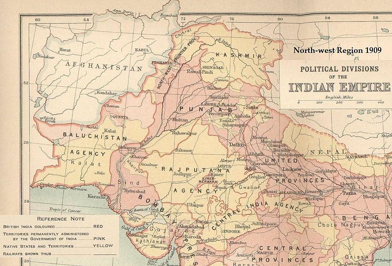
English: 1909. Map of the region and environs of present-day Pakistan in 1909, as a part of the British Indian Empire. |
| Source | Map from, "British Indian Empire 1909" by R. G. Bartholomew, from Imperial Gazetteer of India, 1909, Oxford University Press. Scanned from personal copy, cropped and annotated by me (Fowler&fowler«Talk» 21:53, 18 March 2007 (UTC)), showing the region and environs of present-day Pakistan. |
| Author |
This work created by the United Kingdom Government is in the public domain.
This is because it is one of the following:
HMSO has declared that the expiry of Crown Copyrights applies worldwide (ref: HMSO Email Reply)
|
 |
Licensing
[edit]
This work is based on a work in the public domain. It has been digitally enhanced and/or modified. This derivative work has been (or is hereby) released into the public domain by its author, Fowler&fowler. This applies worldwide.
In some countries this may not be legally possible; if so: |
Original upload log
[edit]
Transferred from en.wikipedia to Commons using For the Common Good.
The original description page was here. All following user names refer to en.wikipedia.
| Date/Time | Dimensions | User | Comment |
|---|---|---|---|
| 21:53, 18 March 2007 | 1,327 × 900 (273,273 bytes) | w:en:Fowler&fowler (talk | contribs) | Map from, "British Indian Empire 1909" by R. G. Bartholomew, from Imperial Gazetteer of India, 1909, Oxford University Press. Scanned from personal copy, cropped and annotated by me (~~~~), showing the region and environs of present-day Pakistan. {{PD-o |
File history
Click on a date/time to view the file as it appeared at that time.
| Date/Time | Thumbnail | Dimensions | User | Comment | |
|---|---|---|---|---|---|
| current | 06:14, 26 October 2016 | | 1,327 × 900 (267 KB) | Mcapdevila (talk | contribs) | Transferred from en.wikipedia: see original upload log above |
You cannot overwrite this file.
File usage on Commons
There are no pages that use this file.
File usage on other wikis
The following other wikis use this file: