File:NJ 32-14 - Series P502 - U.S. Army Map Service - 1952 - Bone.jpg
Jump to navigation
Jump to search

Size of this preview: 790 × 599 pixels. Other resolutions: 316 × 240 pixels | 633 × 480 pixels | 1,012 × 768 pixels | 1,280 × 971 pixels | 2,560 × 1,943 pixels | 5,000 × 3,794 pixels.
Original file (5,000 × 3,794 pixels, file size: 5.19 MB, MIME type: image/jpeg)
Captions
Captions
Add a one-line explanation of what this file represents
Summary
[edit]
| Description |
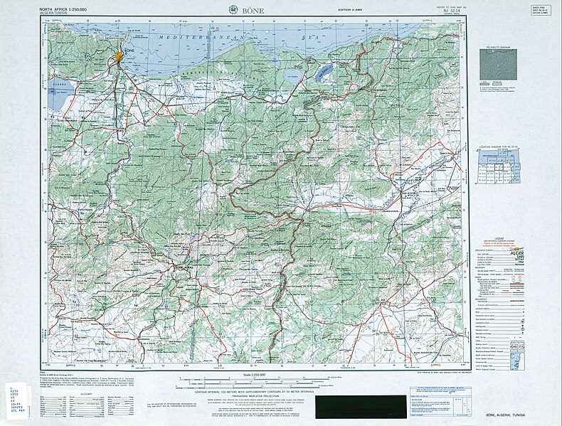
Français : Carte des environs de Bône (actuelle Annaba) en Algérie, établie en 1952 par l'U.S. Army Map Service |
| Date | |
| Source | Prepared by the Army Map Service (AMSM), Corps of Engineers, U.S. Army. Compiled in 1952 |
| Author | United States Army Map Service |
Licensing
[edit]
This image or file is a work of a U.S. Army Corps of Engineers soldier or employee, taken or made as part of that person's official duties. As a work of the U.S. federal government, the image is in the public domain.
|
File history
Click on a date/time to view the file as it appeared at that time.
| Date/Time | Thumbnail | Dimensions | User | Comment | |
|---|---|---|---|---|---|
| current | 21:10, 8 July 2023 | | 5,000 × 3,794 (5.19 MB) | Poudou99 (talk | contribs) | Uploaded a work by United States Army Map Service from Prepared by the Army Map Service (AMSM), Corps of Engineers, U.S. Army. Compiled in 1952 with UploadWizard |
You cannot overwrite this file.
File usage on Commons
The following 3 pages use this file: