File:Mozambique location map.svg
Jump to navigation
Jump to search

Size of this PNG preview of this SVG file: 398 × 599 pixels. Other resolutions: 159 × 240 pixels | 319 × 480 pixels | 510 × 768 pixels | 680 × 1,024 pixels | 1,360 × 2,048 pixels | 1,134 × 1,707 pixels.
Original file (SVG file, nominally 1,134 × 1,707 pixels, file size: 659 KB)
Captions
Captions
Add a one-line explanation of what this file represents
Summary
[edit]| Description |
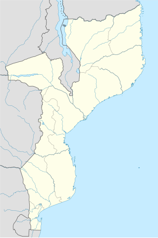
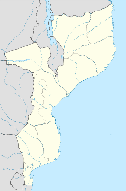
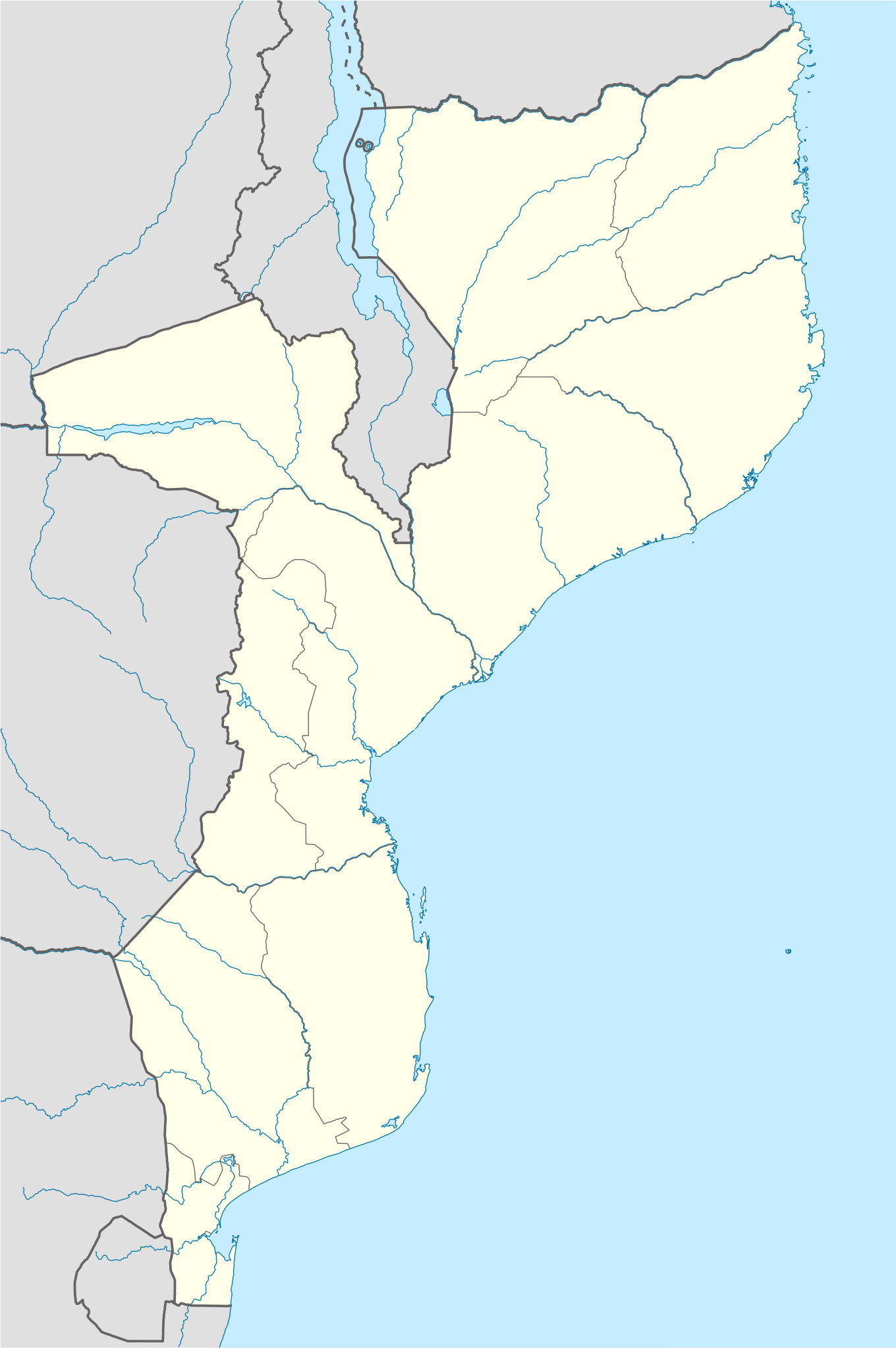
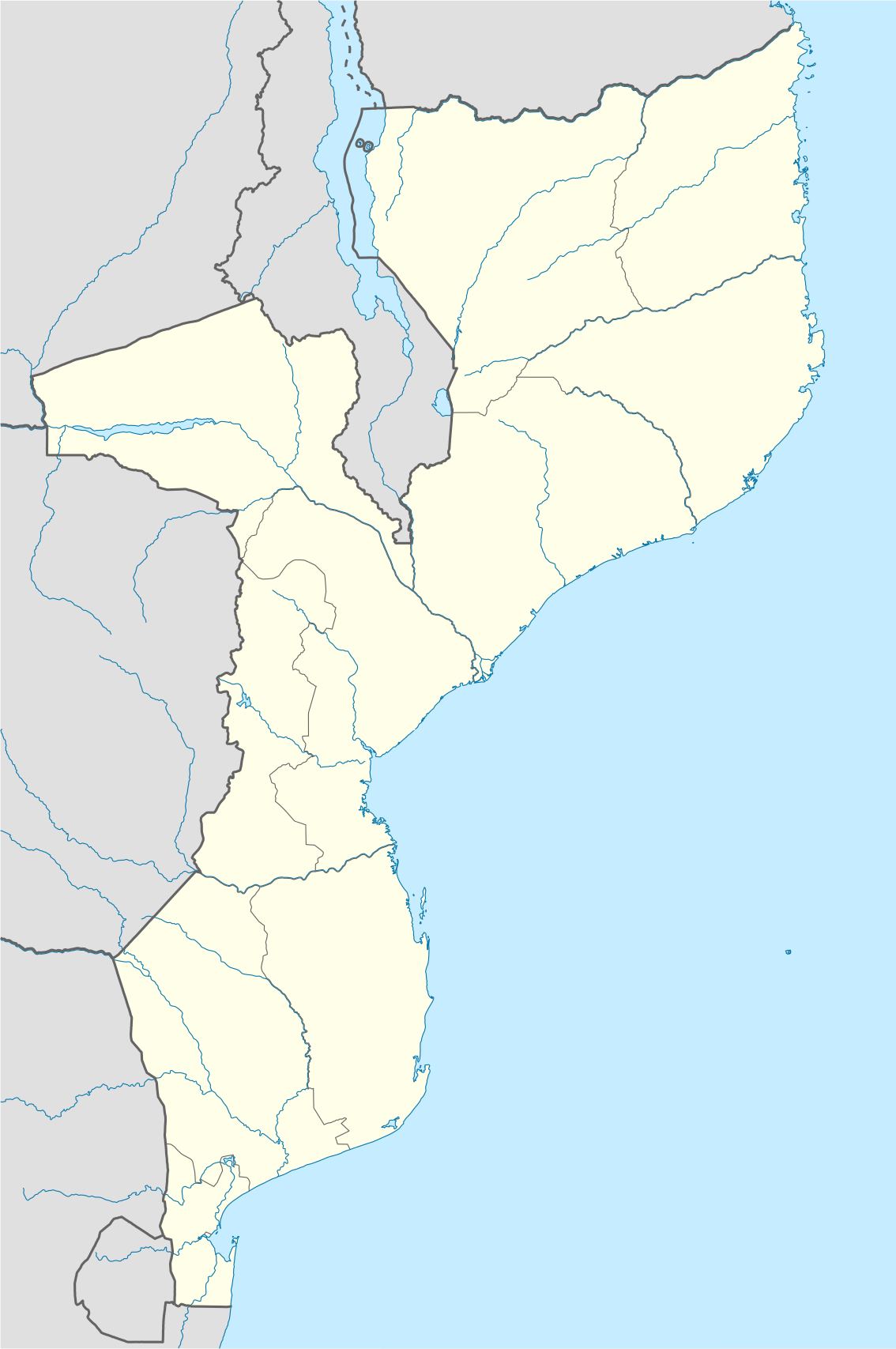
Deutsch: Positionskarte von Mosambik
Quadratische Plattkarte, N-S-Streckung 105 %. Geographische Begrenzung der Karte:
English: Location map of Mozambique
Equirectangular projection, N/S stretching 105 %. Geographic limits of the map:
|
| Date | |
| Source |
own work, using
|
| Author | NordNordWest |
| Other versions |
|


|
This map has been made or improved in the German Kartenwerkstatt (Map Lab). You can propose maps to improve as well.
|
Licensing
[edit]
I, the copyright holder of this work, hereby publish it under the following licenses:

|
Permission is granted to copy, distribute and/or modify this document under the terms of the GNU Free Documentation License, Version 1.2 or any later version published by the Free Software Foundation; with no Invariant Sections, no Front-Cover Texts, and no Back-Cover Texts. A copy of the license is included in the section entitled GNU Free Documentation License. |
This file is licensed under the Creative Commons Attribution-Share Alike 3.0 Unported license.
- You are free:
- to share – to copy, distribute and transmit the work
- to remix – to adapt the work
- Under the following conditions:
- attribution – You must give appropriate credit, provide a link to the license, and indicate if changes were made. You may do so in any reasonable manner, but not in any way that suggests the licensor endorses you or your use.
- share alike – If you remix, transform, or build upon the material, you must distribute your contributions under the same or compatible license as the original.
You may select the license of your choice.
File history
Click on a date/time to view the file as it appeared at that time.
| Date/Time | Thumbnail | Dimensions | User | Comment | |
|---|---|---|---|---|---|
| current | 20:30, 3 March 2020 | | 1,134 × 1,707 (659 KB) | Sémhur (talk | contribs) | Adding Tanzanian border claim (from https://www.nbs.go.tz/index.php/en/census-surveys/gis/385-2012-phc-shapefiles-level-one-and-two) |
| 19:28, 27 October 2008 |  | 1,134 × 1,707 (654 KB) | NordNordWest (talk | contribs) | {{Information |Description= {{de|Positionskarte von Mosambik}} Quadratische Plattkarte, N-S-Streckung 105 %. Geographische Begrenzung der Karte: * N: 10.2° S * S: 27.4° S * W: 29.8° O * O: 41.8° O {{en|Location map of [[:en:Mozambique |
You cannot overwrite this file.
File usage on Commons
The following 14 pages use this file:
- User:Jcornelius/Mozambique/2020 March 1-10
- User:NordNordWest/Gallery/Location maps
- File:Cabo Delgado in Mozambique.svg
- File:Gaza in Mozambique.svg
- File:Inhambane in Mozambique.svg
- File:Manica in Mozambique.svg
- File:Maputo City in Mozambique.svg
- File:Maputo Province in Mozambique.svg
- File:Mozambique relief location map.jpg
- File:Nampula in Mozambique.svg
- File:Niassa in Mozambique.svg
- File:Sofala in Mozambique.svg
- File:Tete in Mozambique.svg
- File:Zambezia in Mozambique.svg
File usage on other wikis
The following other wikis use this file:
- Usage on af.wikipedia.org
- Usage on am.wikipedia.org
- Usage on ar.wikipedia.org
- Usage on az.wikipedia.org
- Usage on ba.wikipedia.org
- Usage on be-tarask.wikipedia.org
- Usage on be.wikipedia.org
- Usage on bg.wikipedia.org
- Usage on bn.wikipedia.org
- Usage on bs.wikipedia.org
- Usage on ce.wikipedia.org
- Usage on ckb.wikipedia.org
- Usage on cs.wikipedia.org
- Usage on da.wikipedia.org
- Usage on de.wikipedia.org
- Usage on de.wikivoyage.org
- Usage on dsb.wikipedia.org
View more global usage of this file.