File:Mordovia.png
Jump to navigation
Jump to search
No higher resolution available.
Mordovia.png (800 × 551 pixels, file size: 43 KB, MIME type: image/png)
Captions
Captions
Add a one-line explanation of what this file represents

|
This locator map image could be re-created using vector graphics as an SVG file. This has several advantages; see Commons:Media for cleanup for more information. If an SVG form of this image is available, please upload it and afterwards replace this template with
{{vector version available|new image name}}.
It is recommended to name the SVG file “Mordovia.svg”—then the template Vector version available (or Vva) does not need the new image name parameter. |
| Description | |
| Date | 4 March 2009 (original upload date) |
| Source | Transferred from ru.wikipedia to Commons. |
| Author | СафроновАВ at Russian Wikipedia |
Licensing[edit]
| This work has been released into the public domain by its author, СафроновАВ at Russian Wikipedia. This applies worldwide. In some countries this may not be legally possible; if so: СафроновАВ grants anyone the right to use this work for any purpose, without any conditions, unless such conditions are required by law. |
Original upload log[edit]
The original description page was here. All following user names refer to ru.wikipedia.
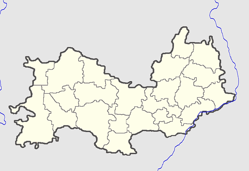
- 2009-03-04 20:49 СафроновАВ 684×435× (19197 bytes) {{Изображение | Описание = Позиционная карта Мордовии | Источник = собственная работа | Время создания = 04.03.09 | Автор = СафроновАВ }}
File history
Click on a date/time to view the file as it appeared at that time.
| Date/Time | Thumbnail | Dimensions | User | Comment | |
|---|---|---|---|---|---|
| current | 19:59, 27 November 2010 | | 800 × 551 (43 KB) | Виктор В (talk | contribs) | проекция, цвет |
| 07:55, 29 April 2009 |  | 684 × 435 (19 KB) | Obersachse (talk | contribs) | {{Information |Description={{ru|}} |Source=Transferred from [http://ru.wikipedia.org ru.wikipedia] |Date={{Date|2009|03|04}} (original upload date) |Author=Original uploader was СафроновАВ at [http://ru.wikipedi |
You cannot overwrite this file.
File usage on Commons
There are no pages that use this file.
File usage on other wikis
The following other wikis use this file:
- Usage on ar.wikipedia.org
- Usage on ceb.wikipedia.org
- Usage on de.wikipedia.org
- Usage on diq.wikipedia.org
- Usage on fa.wikipedia.org
- Usage on hy.wikipedia.org
- Կաղապար:Տեղորոշման քարտեզ Ռուսաստան Մորդովիա
- Ալեքսեևկա (գյուղ, Տեմենիկովսկի շրջան)
- Ակսյոնովո (գյուղ, Լյամբիրսկի շրջան)
- Ատեմար
- Ատյաշևո (քաղաքատիպ ավան, Ատյաշևսկի շրջան)
- Ատյուրևո
- Բարաշևո (գյուղ, Տենգուշևսկի շրջան)
- Բոլշայա Ելխովկա (գյուղ, Լյամբիրսկի շրջան)
- Դաչնի (գյուղ, Տենգուշևսկի շրջան)
- Դուբյոնկի (գյուղ, Դուբենսկի շրջան)
- Դուբրովսկոե (գյուղ, Իչալկովսկի շրջան)
- Ելնիկի (գյուղ, Ելնիկովսկի շրջան)
- Լիկովշչինա
- Լոբանովկա (գյուղ, Ելնիկովսկի շրջան)
- Լոմատի
- Լուխովկա
- Խլեբինո
- Կադոշկինո
- Տակուշևո
- Տատարսկայա Պիշլյա
- Տենգուշևո
- Տորբեևո (քաղաքատիպ ավան, Տորբեևսկի շրջան)
- Տուրգենևո (քաղաքատիպ ավան, Արդատովսկի շրջան)
- Տրոիցկ (գյուղ, Կովիլկինսկի շրջան)
- Նիկոլաևկա (քաղաքատիպ ավան, Սարանսկ քաղաքային օկրուգ)
- Նովայա Ռեզեպովկա
- Նովոչադովո
- Շիշկեևո
- Շոկշա (գյուղ, Տենգուշևսկի շրջան)
- Ումյոտ (քաղաքատիպ ավան, Զուբովո-Պոլյանսկի շրջան)
- Ուրիշկա
- Չամզինկա (քաղաքատիպ ավան, Չամզինսկի շրջան)
- Կարտլեյ
- Կոմսոմոլսկի (քաղաքատիպ ավան, Չամզինսկի շրջան)
- Կոչելաևո
- Կուլիկովո (գյուղ, Տենգուշևսկի շրջան)
- Կուրաևո
- Կուրտաշկի
- Կրասնի Յար (գյուղ, Տենգուշևսկի շրջան)
- Մալայա Ելխովկա (գյուղ, Լյամբիրսկի շրջան)
- Մելսետևո
- Յալգա (քաղաքատիպ ավան, Սարանսկ քաղաքային օկրուգ)
- Յամշչինա (գյուղ, Ինսարսկի շրջան)
- Յավաս
- Նարովատովո
View more global usage of this file.