File:Montes Obarenes OpenTopoMap.png
Jump to navigation
Jump to search
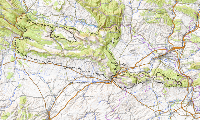
Size of this preview: 800 × 483 pixels. Other resolutions: 320 × 193 pixels | 640 × 386 pixels | 1,024 × 618 pixels | 1,280 × 772 pixels | 1,938 × 1,169 pixels.
Original file (1,938 × 1,169 pixels, file size: 3.85 MB, MIME type: image/png)
Captions
Captions
Obarenes Mountains
Summary[edit]
| Description |
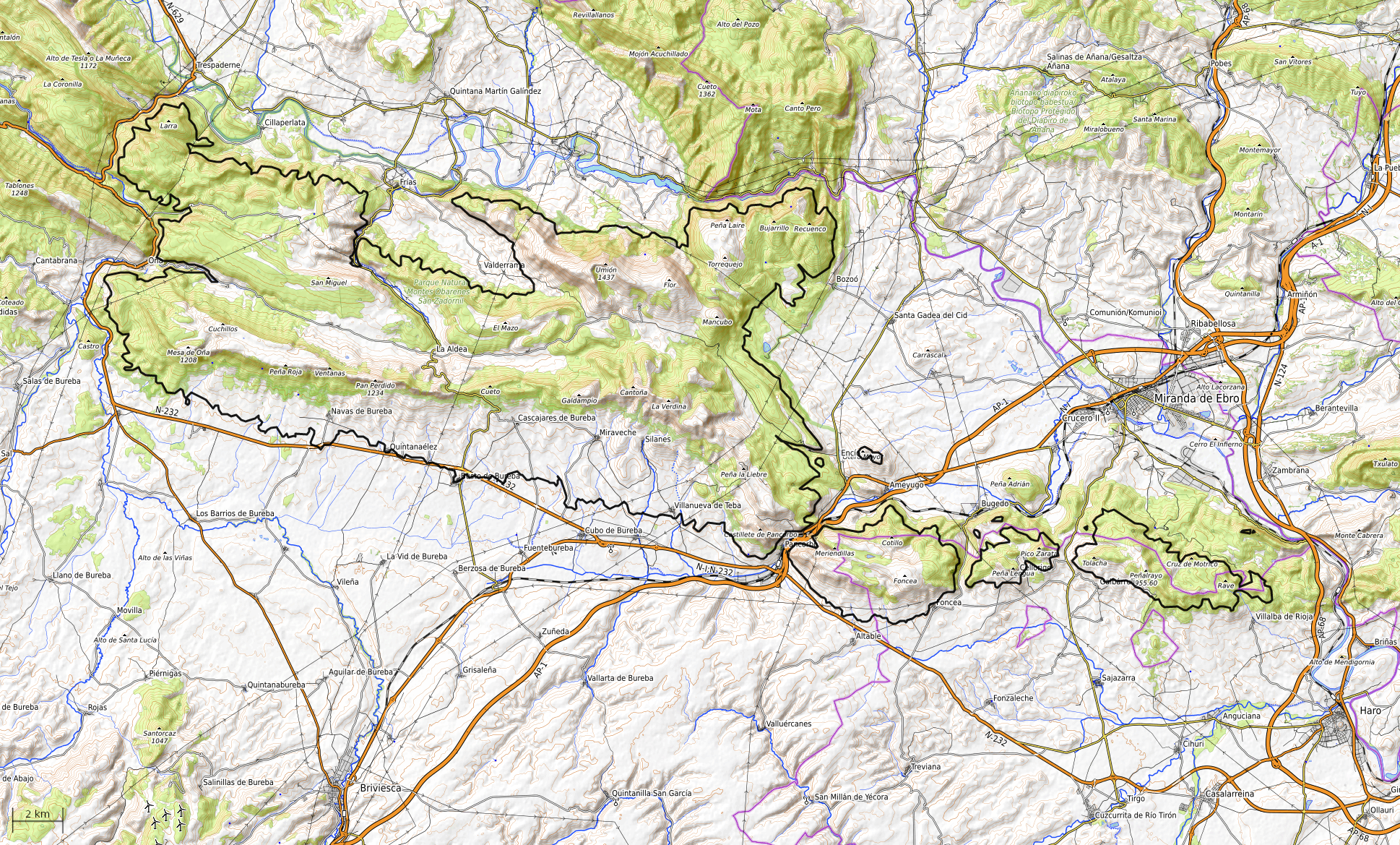
Español: Propuesta de delineación de los Montes Obarenes.
El limite aceptado aqui es la curva de nivel a 710 m s.n.m. según el modelo digital del terreno "EUDEM" v1.1 del programa Copernicus de la Union Europea ( https://land.copernicus.eu/imagery-in-situ/eu-dem ) El mapa de fondo es OpenTopoMap ( https://www.opentopomap.org/#map=11/42.6945/-3.1139 ) - map data: © OpenStreetMap contributors, SRTM | map style: © OpenTopoMap (CC-BY-SA) |
| Date | |
| Source | Own work |
| Author | BotaFlo |
Licensing[edit]
I, the copyright holder of this work, hereby publish it under the following license:
This file is licensed under the Creative Commons Attribution-Share Alike 4.0 International license.
- You are free:
- to share – to copy, distribute and transmit the work
- to remix – to adapt the work
- Under the following conditions:
- attribution – You must give appropriate credit, provide a link to the license, and indicate if changes were made. You may do so in any reasonable manner, but not in any way that suggests the licensor endorses you or your use.
- share alike – If you remix, transform, or build upon the material, you must distribute your contributions under the same or compatible license as the original.
File history
Click on a date/time to view the file as it appeared at that time.
| Date/Time | Thumbnail | Dimensions | User | Comment | |
|---|---|---|---|---|---|
| current | 15:41, 26 May 2023 | | 1,938 × 1,169 (3.85 MB) | BotaFlo (talk | contribs) | Uploaded own work with UploadWizard |
You cannot overwrite this file.
File usage on Commons
The following page uses this file:
File usage on other wikis
The following other wikis use this file:
- Usage on es.wikipedia.org
- Usage on fr.wikipedia.org