File:Millstätter Berg Sappl 2013 a.jpg
Jump to navigation
Jump to search

Size of this preview: 797 × 600 pixels. Other resolutions: 319 × 240 pixels | 638 × 480 pixels | 1,021 × 768 pixels | 1,280 × 963 pixels | 2,560 × 1,926 pixels | 4,114 × 3,095 pixels.
Original file (4,114 × 3,095 pixels, file size: 5.65 MB, MIME type: image/jpeg)
Captions
Captions
Add a one-line explanation of what this file represents
Summary
[edit]
| Description |
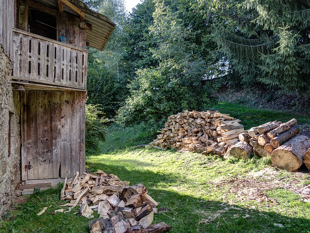
Deutsch: Brennholzhaufen in Sappl, einer Ortschaft in der Gemeinde Millstatt, auf einer Seehöhe von ca. 820 m am Millstätter Berg (Hochplateau) in Kärnten / Österreich / Europäische Union. Links ein nicht mehr benutztes Plumpsklo. English: Firewood pile in Sappl to Lake Millstatt (Millstätter See), district Spittal an der Drau in Carinthia / Austria / EU. On the left side an outhouse no longer used. |
|
| Date | ||
| Source | Own work | |
| Author | Joadl | |
| Permission (Reusing this file) |
|
| Camera location | | View this and other nearby images on: OpenStreetMap |
|---|
Licensing
[edit]
I, the copyright holder of this work, hereby publish it under the following licenses:

|
Permission is granted to copy, distribute and/or modify this document under the terms of the GNU Free Documentation License, Version 1.2 or any later version published by the Free Software Foundation; with no Invariant Sections, no Front-Cover Texts, and no Back-Cover Texts. A copy of the license is included in the section entitled GNU Free Documentation License. |
This file is licensed under the Creative Commons Attribution-Share Alike 3.0 Austria license.
- You are free:
- to share – to copy, distribute and transmit the work
- to remix – to adapt the work
- Under the following conditions:
- attribution – You must give appropriate credit, provide a link to the license, and indicate if changes were made. You may do so in any reasonable manner, but not in any way that suggests the licensor endorses you or your use.
- share alike – If you remix, transform, or build upon the material, you must distribute your contributions under the same or compatible license as the original.

You may select the license of your choice.
{{Retouched|[[:en:High dynamic range imaging|
File history
Click on a date/time to view the file as it appeared at that time.
| Date/Time | Thumbnail | Dimensions | User | Comment | |
|---|---|---|---|---|---|
| current | 21:01, 6 November 2013 | | 4,114 × 3,095 (5.65 MB) | Joadl (talk | contribs) | == {{int:filedesc}} == {{Information |Description= {{Multilingual description |de= Brennholzhaufen in Sappl, einer Ortschaft in der Gemeinde Millstatt, auf einer Seehöhe von ca. 820 m am [[:de:Millstätter Berg|Millstä... |
You cannot overwrite this file.
File usage on Commons
The following page uses this file:
File usage on other wikis
The following other wikis use this file:
- Usage on lt.wikipedia.org