File:Milestone Woelferlinger Weiher southside.jpg
Jump to navigation
Jump to search
Size of this preview: 399 × 600 pixels. Other resolutions: 160 × 240 pixels | 319 × 480 pixels | 511 × 768 pixels | 681 × 1,024 pixels | 1,363 × 2,048 pixels | 2,594 × 3,898 pixels.
Original file (2,594 × 3,898 pixels, file size: 2.44 MB, MIME type: image/jpeg)
Captions
Captions
Add a one-line explanation of what this file represents
Summary[edit]
| Description |
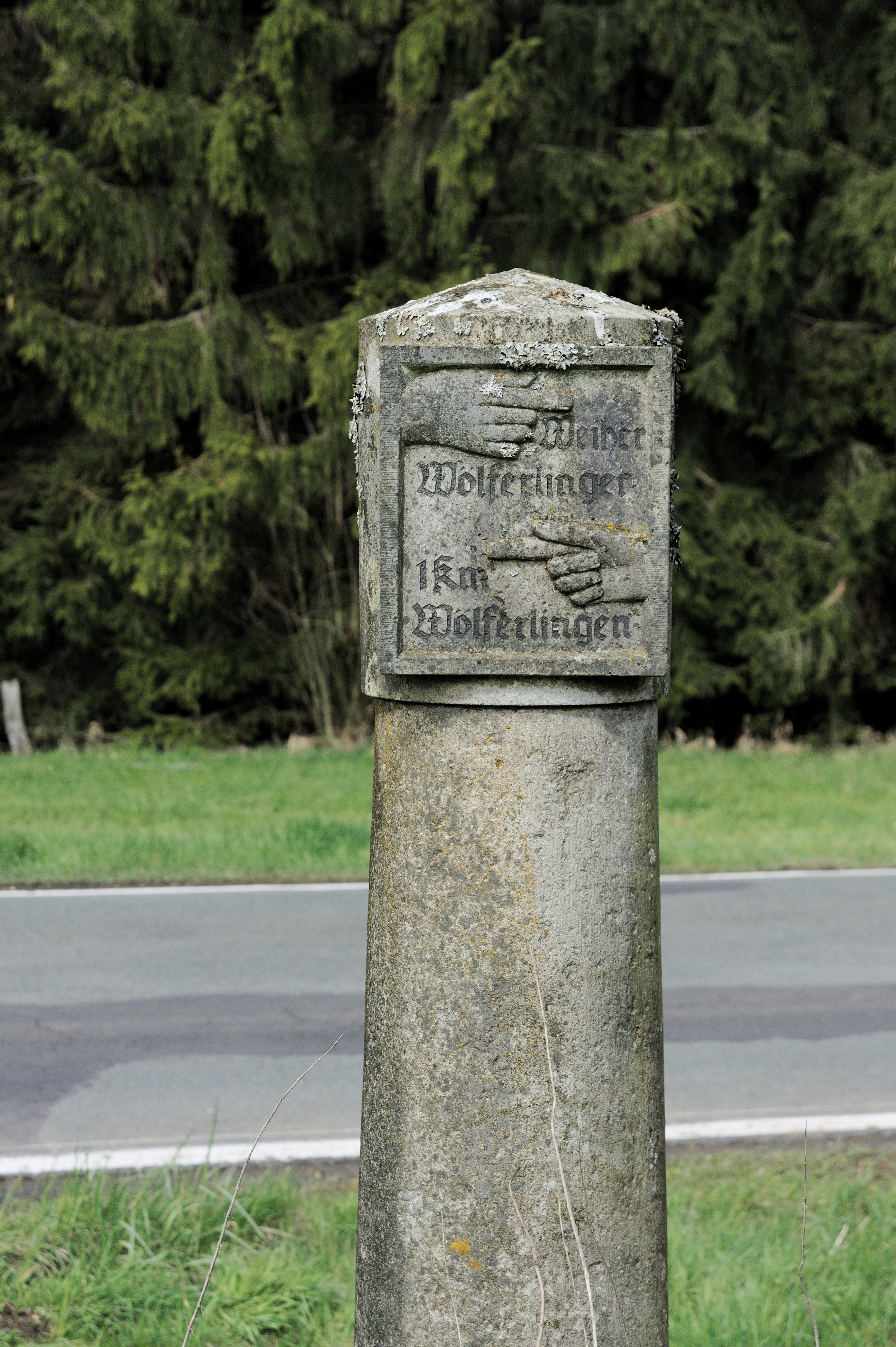
English: Historic milestone (southern side) pointing to village Wölferlingen and Wölferlinger Weiher. Location: at road K61 north-east of Wölferlingen, Westerwald, Rheinland-Pfalz, Germany
Deutsch: Historischer Kilometerstein, Südseite, der den Weg zum Ort Wölferlingen und zum Wölferlinger Weiher zeigt. Lage: An der K61 nordöstlich Wölferlingen, Westerwald, Rheinland-Pfalz |
| Date | |
| Source | Own work |
| Author | el_tommo |
| Camera location | | View this and other nearby images on: OpenStreetMap |
|---|
Licensing[edit]
| This file is made available under the Creative Commons CC0 1.0 Universal Public Domain Dedication. | |
| The person who associated a work with this deed has dedicated the work to the public domain by waiving all of their rights to the work worldwide under copyright law, including all related and neighboring rights, to the extent allowed by law. You can copy, modify, distribute and perform the work, even for commercial purposes, all without asking permission.
|
File history
Click on a date/time to view the file as it appeared at that time.
| Date/Time | Thumbnail | Dimensions | User | Comment | |
|---|---|---|---|---|---|
| current | 12:05, 27 April 2016 | | 2,594 × 3,898 (2.44 MB) | El tommo (talk | contribs) | VicuñaUploader 1.23 |
You cannot overwrite this file.
File usage on Commons
The following page uses this file:
File usage on other wikis
The following other wikis use this file:
- Usage on de.wikipedia.org