File:Masanha-map.png
Jump to navigation
Jump to search

Size of this preview: 800 × 580 pixels. Other resolutions: 320 × 232 pixels | 640 × 464 pixels | 1,024 × 742 pixels | 1,280 × 928 pixels | 1,500 × 1,087 pixels.
Original file (1,500 × 1,087 pixels, file size: 225 KB, MIME type: image/png)
Captions
Captions
Add a one-line explanation of what this file represents
Summary
[edit]
| Description |
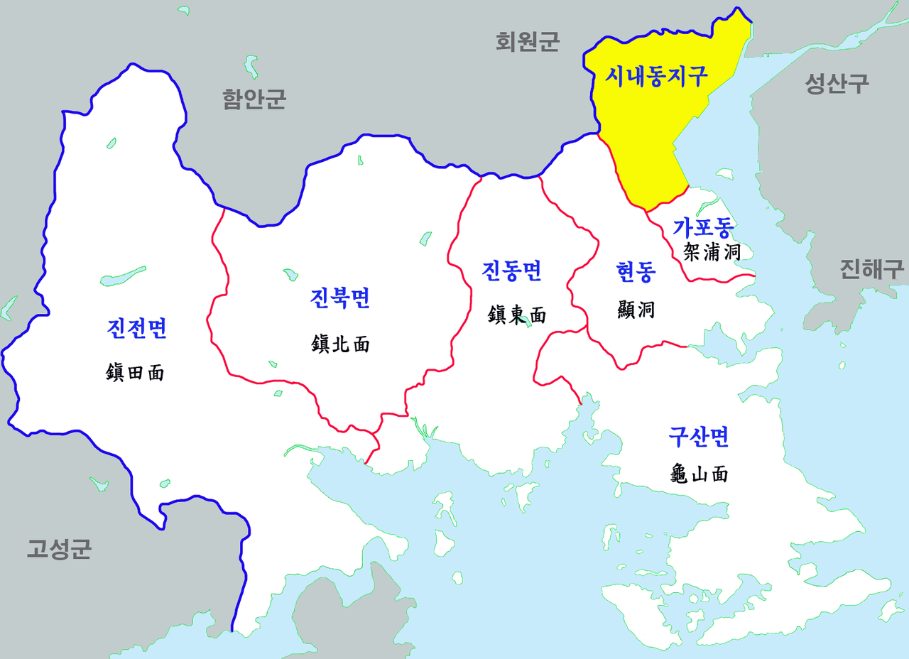
한국어: 마산합포구 행정구역 |
| Date | |
| Source | Own work |
| Author | 장길산 |
Licensing
[edit]
| I, the copyright holder of this work, release this work into the public domain. This applies worldwide. In some countries this may not be legally possible; if so: I grant anyone the right to use this work for any purpose, without any conditions, unless such conditions are required by law. |
File history
Click on a date/time to view the file as it appeared at that time.
| Date/Time | Thumbnail | Dimensions | User | Comment | |
|---|---|---|---|---|---|
| current | 14:27, 19 July 2012 | | 1,500 × 1,087 (225 KB) | Asfreeas (talk | contribs) | Saturation Adjusted |
| 14:21, 19 July 2012 |  | 1,500 × 1,087 (255 KB) | Asfreeas (talk | contribs) | Saturation Adjusted | |
| 06:30, 6 May 2012 |  | 1,500 × 1,087 (299 KB) | Gloyacks (talk | contribs) | 시인성추가 | |
| 06:14, 6 May 2012 |  | 1,500 × 1,087 (286 KB) | Gloyacks (talk | contribs) | 구역도 재작성 | |
| 22:06, 6 March 2011 |  | 1,500 × 1,184 (694 KB) | Gloyacks (talk | contribs) | 지명 과 용량조정 | |
| 08:02, 6 March 2011 |  | 2,992 × 2,362 (2.11 MB) | Gloyacks (talk | contribs) | 파일 교체 | |
| 07:59, 6 March 2011 |  | 1,500 × 1,565 (891 KB) | Gloyacks (talk | contribs) | {{파일 정보 |설명=마산합포구 행정구역 |출처=자작 |날짜=2011년 3월 6일 |만든이=장길산 |저작권= |기타= }} |
You cannot overwrite this file.
File usage on Commons
There are no pages that use this file.
File usage on other wikis
The following other wikis use this file:
- Usage on ja.wikipedia.org
- Usage on ko.wikipedia.org