File:Maria 2017-09-19 2107Z.png
Jump to navigation
Jump to search

Size of this preview: 800 × 450 pixels. Other resolutions: 320 × 180 pixels | 640 × 360 pixels | 1,024 × 576 pixels | 1,280 × 720 pixels | 1,920 × 1,080 pixels.
Original file (1,920 × 1,080 pixels, file size: 2.86 MB, MIME type: image/png)
Captions
Captions
Add a one-line explanation of what this file represents
Summary[edit]
| Description |
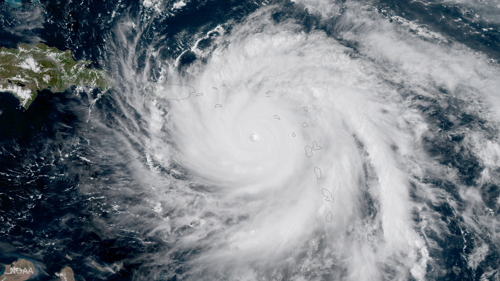
English: This NOAA GOES-16 geocolor image shows Hurricane Maria as it moves across the northeastern Caribbean toward the Virgin Islands and Puerto Rico. The Category 5 hurricane made landfall on Dominica Monday night Sept. 18th. |
| Date | |
| Source | https://www.nesdis.noaa.gov/content/hurricane-maria-now-dangerous-category-5-storm |
| Author | NOAA National Environmental Satellite, Data, and Information Service (NESDIS) |
Licensing[edit]
This image is in the public domain because it contains materials that originally came from the U.S. National Oceanic and Atmospheric Administration, taken or made as part of an employee's official duties.
|
File history
Click on a date/time to view the file as it appeared at that time.
| Date/Time | Thumbnail | Dimensions | User | Comment | |
|---|---|---|---|---|---|
| current | 08:13, 6 March 2018 | | 1,920 × 1,080 (2.86 MB) | A1Cafel (talk | contribs) | original size |
| 03:33, 3 March 2018 |  | 960 × 540 (721 KB) | A1Cafel (talk | contribs) | User created page with UploadWizard |
You cannot overwrite this file.
File usage on Commons
The following page uses this file:
- File:Maria 2017-09-19 GOES-16.png (file redirect)