File:Margit-sziget térképe 1884.jpg
Jump to navigation
Jump to search

Size of this preview: 322 × 598 pixels. Other resolutions: 129 × 240 pixels | 258 × 480 pixels | 413 × 768 pixels | 551 × 1,024 pixels | 1,907 × 3,543 pixels.
Original file (1,907 × 3,543 pixels, file size: 933 KB, MIME type: image/jpeg)
Captions
Captions
Add a one-line explanation of what this file represents
Summary[edit]
| Description |
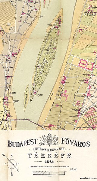
Magyar: Margit-sziget térképe 1884-ből, Légrády testvérek kiadása |
| Date | |
| Source | Scan from the original work |
| Author | Budapest Székesfőváros Mérnöki Hivatala (Lukács Ignác) |
| Other versions | https://maps.hungaricana.hu/hu/BFLTerkeptar/3176/ |
Licensing[edit]
|
This work is in the public domain in its country of origin and other countries and areas where the copyright term is the author's life plus 100 years or fewer. This work is in the public domain in the United States because it was published (or registered with the U.S. Copyright Office) before January 1, 1929. | |
| This file has been identified as being free of known restrictions under copyright law, including all related and neighboring rights. | |
File history
Click on a date/time to view the file as it appeared at that time.
| Date/Time | Thumbnail | Dimensions | User | Comment | |
|---|---|---|---|---|---|
| current | 15:16, 27 November 2008 | | 1,907 × 3,543 (933 KB) | Takkk (talk | contribs) | {{Információ | leírás = Margitsziget térképe 1884, Térkép részlet. | forrás = 1884-es kiadású Budapest térkép részlete | dátum = 1884 | helyszín = Budapest, Hungary | szerző = user/szerkesztő Takk |
You cannot overwrite this file.
File usage on Commons
There are no pages that use this file.
File usage on other wikis
The following other wikis use this file:
- Usage on cs.wikipedia.org