File:Mapy.cz - turistická - bitva u Ilavy a Bánova.png
Jump to navigation
Jump to search
Size of this preview: 800 × 505 pixels. Other resolutions: 320 × 202 pixels | 640 × 404 pixels | 972 × 614 pixels.
Original file (972 × 614 pixels, file size: 1.18 MB, MIME type: image/png)
Captions
Captions
Add a one-line explanation of what this file represents
Summary
[edit]
| Description |
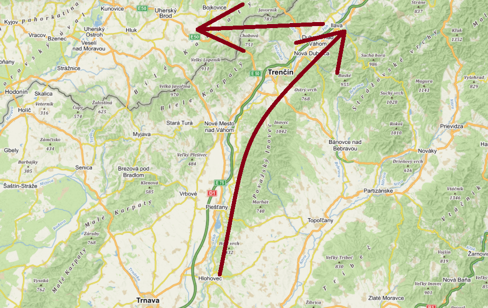
Čeština: Směr postupu husitských vojsk při bitvě u Ilavy a Bánova. |
| Date | |
| Source | https://mapy.cz/turisticka?planovani-trasy&x=17.9178325&y=48.7396406&z=10&l=0 |
| Author |
Original: Mapy.cz: © Seznam.cz, a.s., © NASA, © OpenStreetMap, © AOPK ČR – ochrana přírody a krajiny, © Slovenská agentúra živ. prostredia, © Národné lesnické centrum SR
|
Licensing
[edit]
| This screenshot comes from the map server Mapy.cz under a CC license. Their licence conditions of map bases states: "The Screenshot may also be distributed (i.e. in addition to the conditions already described) under the Creative Commons 4.0 license (CC-BY-SA 4.0) by indicating authors and sources and distributing them under the same license." |
| To the uploader: You must provide a link (URL) to the original file and the authorship information if available. |
This file is licensed under the Creative Commons Attribution-Share Alike 4.0 International license. Attribution: Mapy.cz: © Seznam.cz, a.s., © NASA, © OpenStreetMap, © AOPK ČR – ochrana přírody a krajiny, © Slovenská agentúra živ. prostredia, © Národné lesnické centrum SR
|
File history
Click on a date/time to view the file as it appeared at that time.
| Date/Time | Thumbnail | Dimensions | User | Comment | |
|---|---|---|---|---|---|
| current | 18:42, 31 January 2021 | | 972 × 614 (1.18 MB) | 0kozel (talk | contribs) | Uploaded a work by Mapy.cz: © Seznam.cz, a.s., © AOPK ČR – ochrana přírody a krajiny, © Slovenská agentúra živ. prostredia, © Národné lesnické centrum SR from https://mapy.cz/turisticka?planovani-trasy&x=17.9178325&y=48.7396406&z=10&l=0 with UploadWizard |
You cannot overwrite this file.
File usage on Commons
There are no pages that use this file.
File usage on other wikis
The following other wikis use this file:
- Usage on cs.wikipedia.org
- Usage on ru.wikipedia.org