File:Mappa ferr Biella-Novara.svg
Jump to navigation
Jump to search

Size of this PNG preview of this SVG file: 800 × 350 pixels. Other resolutions: 320 × 140 pixels | 640 × 280 pixels | 1,024 × 448 pixels | 1,280 × 560 pixels | 2,560 × 1,120 pixels | 1,134 × 496 pixels.
Original file (SVG file, nominally 1,134 × 496 pixels, file size: 226 KB)
Captions
Captions
Add a one-line explanation of what this file represents
Summary[edit]
| Description |
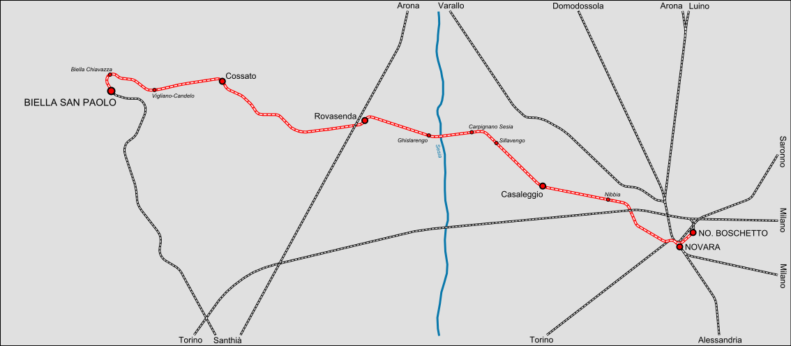
Italiano: Mappa della ferrovia Biella-Novara. |
| Source | Own work |
| Author | Arbalete |
| Permission (Reusing this file) |
I, the copyright holder of this work, hereby publish it under the following license: This file is licensed under the Creative Commons Attribution-Share Alike 4.0 International license.
|
File history
Click on a date/time to view the file as it appeared at that time.
| Date/Time | Thumbnail | Dimensions | User | Comment | |
|---|---|---|---|---|---|
| current | 22:16, 28 March 2015 | | 1,134 × 496 (226 KB) | Arbalete (talk | contribs) | User created page with UploadWizard |
You cannot overwrite this file.
File usage on Commons
The following 3 pages use this file:
File usage on other wikis
The following other wikis use this file:
- Usage on fr.wikipedia.org
- Usage on hu.wikipedia.org
- Usage on it.wikipedia.org
- Usage on lmo.wikipedia.org
- Usage on www.wikidata.org