File:Map of the West Country.png
Jump to navigation
Jump to search
Size of this preview: 680 × 599 pixels. Other resolutions: 272 × 240 pixels | 545 × 480 pixels | 785 × 692 pixels.
Original file (785 × 692 pixels, file size: 27 KB, MIME type: image/png)
Captions
Captions
Add a one-line explanation of what this file represents
Summary[edit]
| Description |
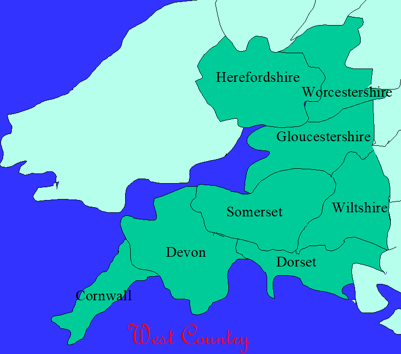
English: A map of the West Country. Made on 8th November 2018. |
| Date | |
| Source | Made using Microsoft Powerpoint |
| Author | Mozart834428196 |
- Other information
English: It illustrates the West Country.
I, the copyright holder of this work, hereby publish it under the following license:
This file is licensed under the Creative Commons Attribution 4.0 International license.
- You are free:
- to share – to copy, distribute and transmit the work
- to remix – to adapt the work
- Under the following conditions:
- attribution – You must give appropriate credit, provide a link to the license, and indicate if changes were made. You may do so in any reasonable manner, but not in any way that suggests the licensor endorses you or your use.
File history
Click on a date/time to view the file as it appeared at that time.
| Date/Time | Thumbnail | Dimensions | User | Comment | |
|---|---|---|---|---|---|
| current | 13:37, 12 November 2018 | | 785 × 692 (27 KB) | Mozart834428196 (talk | contribs) | {{subst:Upload marker added by en.wp UW}} {{Information |Description = {{en|A map of the West Country. Made on 8th November 2018.}} |Source = Made using Microsoft Powerpoint |Date = 8th November 2018 |Author = Mozart834428196 }} ;Other information: {{en|It illustrates the West Country.}} {{self|cc-by-4.0}} |
You cannot overwrite this file.
File usage on Commons
There are no pages that use this file.
File usage on other wikis
The following other wikis use this file:
- Usage on gl.wikipedia.org