File:Map of USA highlighting Great Lakes region.png
Jump to navigation
Jump to search
Size of this preview: 800 × 521 pixels. Other resolutions: 320 × 209 pixels | 640 × 417 pixels | 887 × 578 pixels.
Original file (887 × 578 pixels, file size: 155 KB, MIME type: image/png)
Captions
Captions
Add a one-line explanation of what this file represents

|
File:Map of USA highlighting Great Lakes region.svg is a vector version of this file. It should be used in place of this PNG file when not inferior.
File:Map of USA highlighting Great Lakes region.png → File:Map of USA highlighting Great Lakes region.svg
For more information, see Help:SVG. |
 |
| Description |
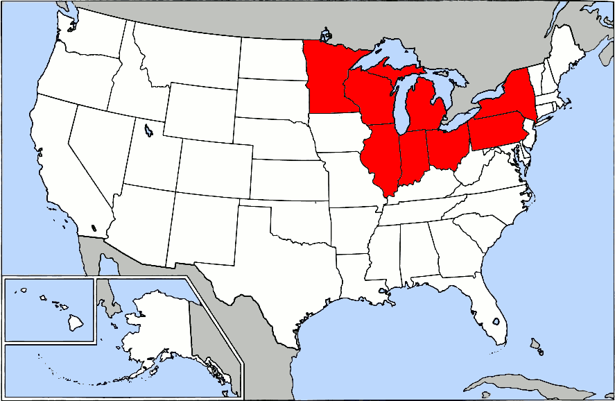
English: Map of USA highlighting the Great Lakes region. |
||||||||
| Date | |||||||||
| Source | Made from en:Image:Map of USA.png. | ||||||||
| Author | en:User:Grendelkhan | ||||||||
| Permission (Reusing this file) |
Uploaded to en.wiki under GFDL
|
||||||||
| Other versions |
Originally from en.wikipedia; description page is (was) here
|

File history
Click on a date/time to view the file as it appeared at that time.
| Date/Time | Thumbnail | Dimensions | User | Comment | |
|---|---|---|---|---|---|
| current | 22:20, 28 June 2007 | | 887 × 578 (155 KB) | Lokal Profil (talk | contribs) | {{Information |Description={{en|Map of USA highlighting the Great Lakes region.}} |Source=Made from en:Image:Map of USA.png. |Date=11 January 2005 |Author=en:User:Grendelkhan |Permission=Uploaded to en |
You cannot overwrite this file.
File usage on Commons
There are no pages that use this file.
File usage on other wikis
The following other wikis use this file:
- Usage on ca.wikipedia.org
- Usage on es.wikipedia.org