File:Map of Tibet, Nepal and Bhutan about the year 1800 from Die Obere Oder Nördliche Halbkugel Der Erde (cropped).jpg
Jump to navigation
Jump to search

Size of this preview: 587 × 600 pixels. Other resolutions: 235 × 240 pixels | 470 × 480 pixels | 1,012 × 1,034 pixels.
Original file (1,012 × 1,034 pixels, file size: 324 KB, MIME type: image/jpeg)
Captions
Captions
Add a one-line explanation of what this file represents
Summary[edit]
| Description |
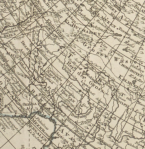
Deutsch: 1 Kt. : Grenzen kolor. (Diam. 58 cm) ; Koordinaten E 179°01'00"-W 179°01'00"/N 85°00'00"-S 0°00'00" ; Vermutlich aus: Allgemeiner Grosser Atlass / Herausgegeben von F. A. Schraembl ; 3. - Maßstab in graph. Form (geographische Meilen). - Maßstab unterhalb des Kt.-Feldes. - Nullmeridian: Wien. - Kt. in Kreisform. - Relief: Einzelberge |
| Date | circa 1800 |
| Source | Leibniz-Institut für Länderkunde e.V., Leipzig |
| Author | Ecker, Johann Anton ; Benedicti, Hiernoymus ; Mollo, Tranquillo (Herausgeber/-in) ; Schraembl, Franz Anton (Herausgeber/-in) |
| Other versions |

.jpg&action=edit§ion=1)
Altkarte ; g. Nordhemisphäre
Licensing[edit]
.jpg&action=edit§ion=2)
| This file is made available under the Creative Commons CC0 1.0 Universal Public Domain Dedication. | |
| The person who associated a work with this deed has dedicated the work to the public domain by waiving all of their rights to the work worldwide under copyright law, including all related and neighboring rights, to the extent allowed by law. You can copy, modify, distribute and perform the work, even for commercial purposes, all without asking permission.
|
| Annotations | This image is annotated: View the annotations at Commons |
.jpg)
File history
Click on a date/time to view the file as it appeared at that time.
| Date/Time | Thumbnail | Dimensions | User | Comment | |
|---|---|---|---|---|---|
| current | 16:33, 17 April 2019 | | 1,012 × 1,034 (324 KB) | Tibet Nation (talk | contribs) | File:Die Obere Oder Nördliche Halbkugel Der Erde.jpg cropped 88 % horizontally, 92 % vertically, rotated 90° using CropTool with lossless mode. |
You cannot overwrite this file.
File usage on Commons
The following 4 pages use this file:
File usage on other wikis
The following other wikis use this file:
- Usage on cs.wikipedia.org
.jpg&oldid=731475408)